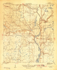
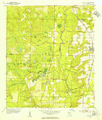
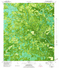
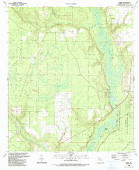
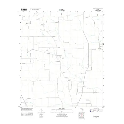
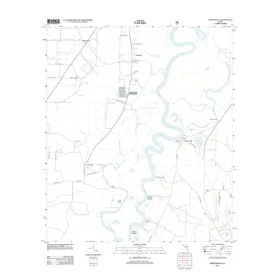
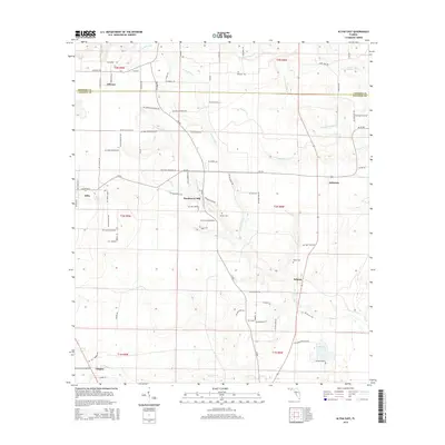
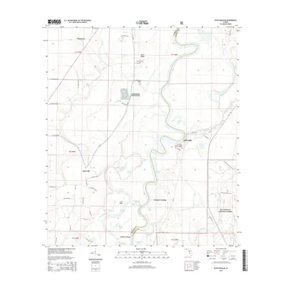
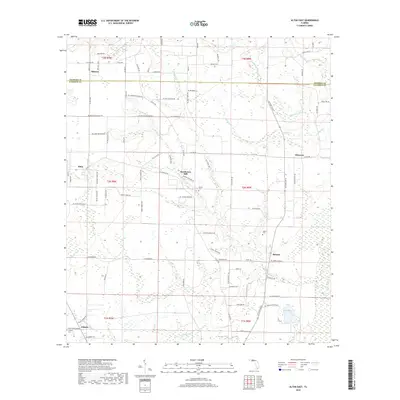
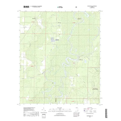
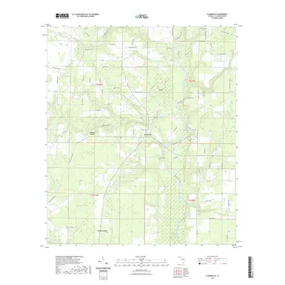
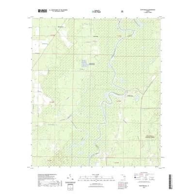
1944 Map of Clarksville
USGS Topo · Published 1944About this map
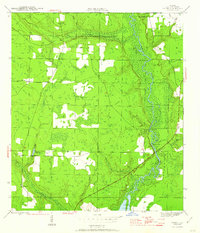
The Chipola River carves a deep path through Calhoun County in the mid-1940s, serving as the central geographic feature for the surrounding rural communities. This survey reveals a landscape organized around family and faith, with numerous small churches such as Travelers Rest Ch, Poplar Head Ch, and Red Oak Ch serving as community anchors. The settlement of Clarksville sits at a critical junction, while outlying crossroads like Rollins Corner and Fisher Corner mark the rural intersections of the era. Local education is centered at Carr Sch and Crossroads Sch, providing a clear look at the decentralized school system before mid-century consolidation. The topography is defined by intricate drainage systems, including Fourmile Creek and Wildcat Creek, which feed into the main river valley alongside notable landmarks like Barfield Cem.
Find a feature on this map
32 named features on this map. Tap any name to fly to it.
Don’t see what you’re looking for? This feature index may not catch every label — zoom into the map to look around manually.
Map Details
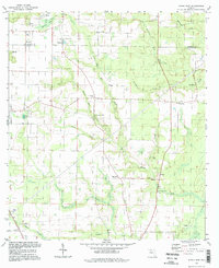
Editions of this 1944 Clarksville Map
This is the sole edition of this map. No revisions or reprints were ever made.
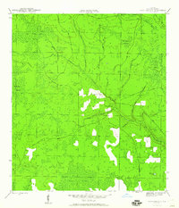
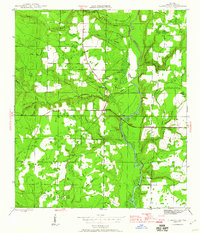
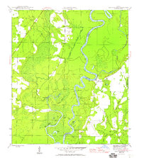
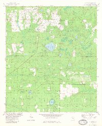
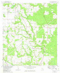
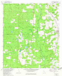
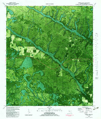
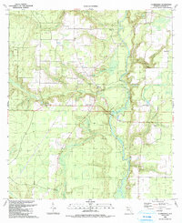
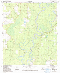
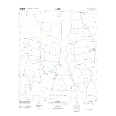
Historical Maps of Fisher Corner Through Time
59 maps found
1944 Clarksville
Calhoun County, FL
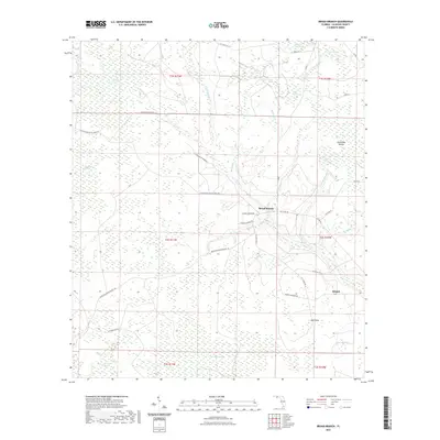
1945 Broad Branch
Calhoun County, FL
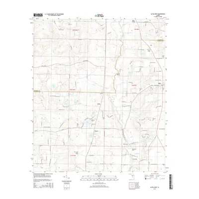
1945 Clarksville
Calhoun County, FL
1945 Estiffanulga
Calhoun County, FL
1945 Frink
Calhoun County, FL
1945 Juniper Creek
Calhoun County, FL
1952 Alford SE
Calhoun County, FL
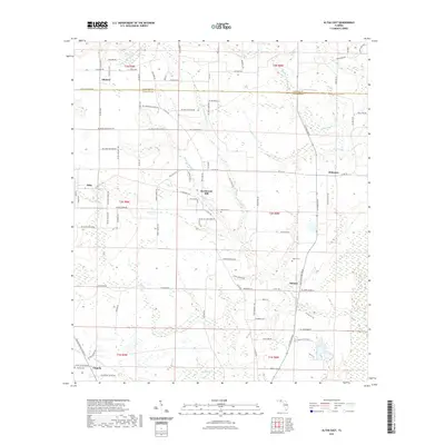
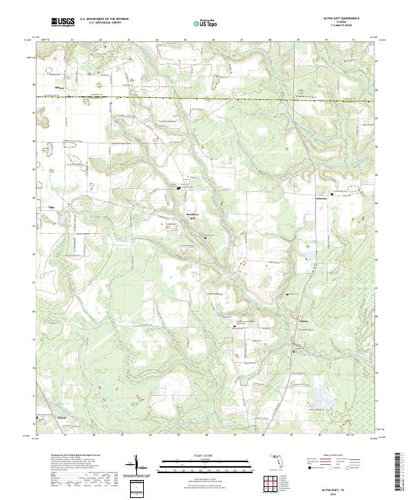
1952 Altha East
Calhoun County, FL
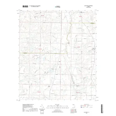
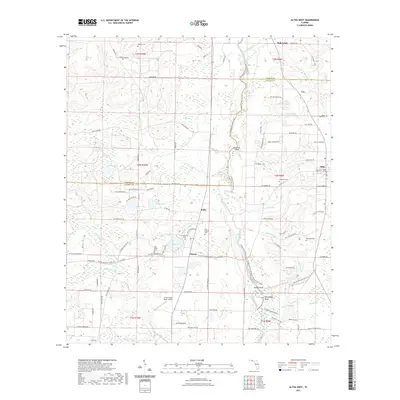
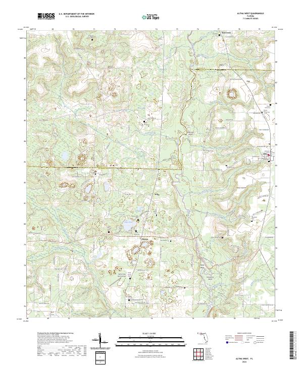
1952 Altha West
Calhoun County, FL
1982 Alford SE
Calhoun County, FL
1982 Altha East
Calhoun County, FL
1982 Altha West
Calhoun County, FL
1982 Broad Branch
Calhoun County, FL
1982 Juniper Creek
Calhoun County, FL
1990 Clarksville
Calhoun County, FL
1990 Estiffanulga
Calhoun County, FL
1990 Frink
Calhoun County, FL
1994 Altha East
Calhoun County, FL
1994 Altha West
Calhoun County, FL
2012 Alford SE
Calhoun County, FL
2012 Altha East
Calhoun County, FL
2012 Altha West
Calhoun County, FL
2012 Broad Branch
Calhoun County, FL
2012 Clarksville
Calhoun County, FL
2012 Estiffanulga
Calhoun County, FL
2012 Frink
Calhoun County, FL
2012 Juniper Creek
Calhoun County, FL
2015 Alford SE
Calhoun County, FL
2015 Altha East
Calhoun County, FL
2015 Altha West
Calhoun County, FL
2015 Broad Branch
Calhoun County, FL
2015 Clarksville
Calhoun County, FL
2015 Estiffanulga
Calhoun County, FL
2015 Frink
Calhoun County, FL
2015 Juniper Creek
Calhoun County, FL
2018 Alford SE
Calhoun County, FL
2018 Altha East
Calhoun County, FL
2018 Altha West
Calhoun County, FL
2018 Broad Branch
Calhoun County, FL
2018 Clarksville
Calhoun County, FL
2018 Estiffanulga
Calhoun County, FL
2018 Frink
Calhoun County, FL
2018 Juniper Creek
Calhoun County, FL
2021 Alford SE
Calhoun County, FL
2021 Altha East
Calhoun County, FL
2021 Altha West
Calhoun County, FL
2021 Broad Branch
Calhoun County, FL
2021 Clarksville
Calhoun County, FL
2021 Estiffanulga
Calhoun County, FL
2021 Frink
Calhoun County, FL
2021 Juniper Creek
Calhoun County, FL
2024 Alford SE
Calhoun County, FL
2024 Altha East
Calhoun County, FL
2024 Altha West
Calhoun County, FL
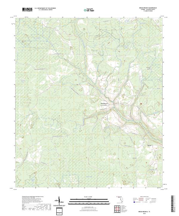
2024 Broad Branch
Calhoun County, FL
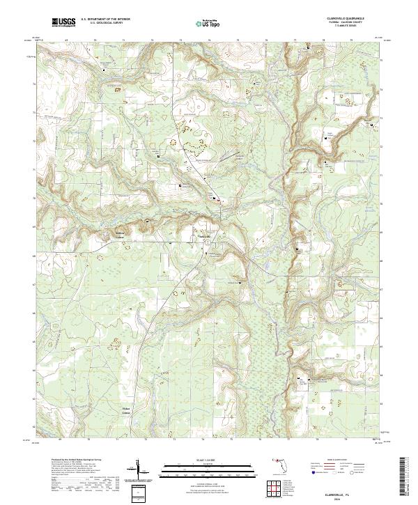
2024 Clarksville
Calhoun County, FL
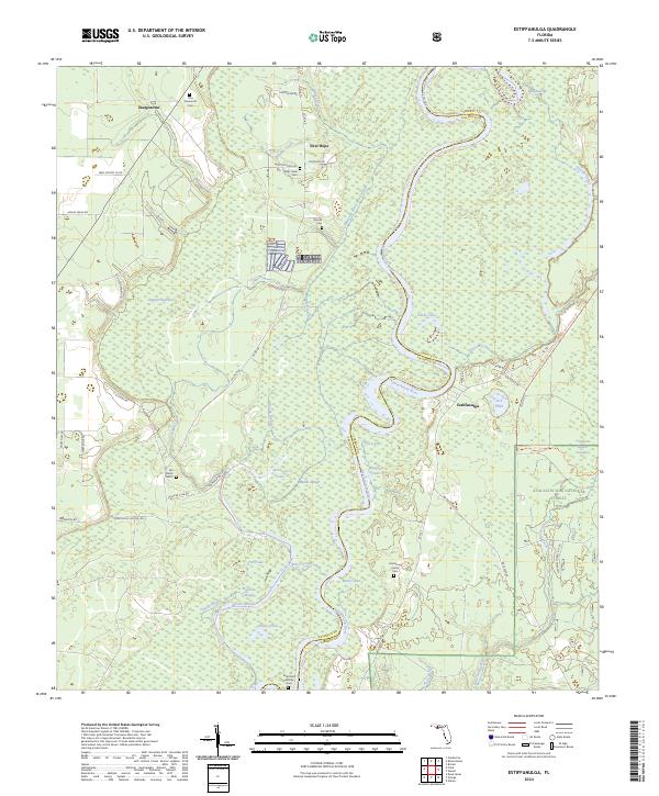
2024 Estiffanulga
Calhoun County, FL
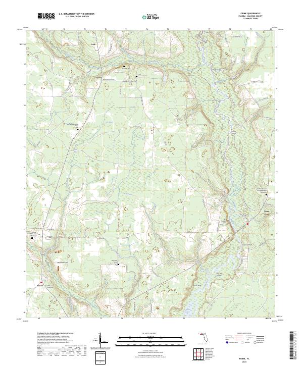
2024 Frink
Calhoun County, FL
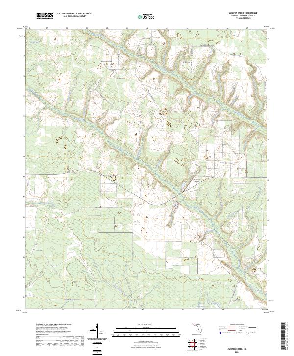
2024 Juniper Creek
Calhoun County, FL