
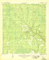
1945 Map of Broad Branch
USGS Topo · Published 1945About this map
Broad Branch and the neighboring settlement of Kinard anchor this 1945 survey of Calhoun County, Florida, where the landscape is defined by an intricate network of wetlands and seasonal drainages. The map reveals the vital importance of the local road system for navigating this damp terrain, highlighting the Scotts Ferry Road and Youngstown Road as they skirt the edges of extensive marshlands. To the north, the massive Old Camp Four Swamp dominates the geography, while the southern reaches transition into the broad Wetappo Swamp. The drainage pattern is exceptionally detailed, featuring winding watercourses like Cypress Creek and the curiously named Polliwog Branch. Genealogists and local historians can trace early transportation routes through the Straw Bay Islands and locate isolated water features such as the Watering Pond, providing a clear record of the area's rural character before mid-century development altered the Panhandle interior.
Find a feature on this map
24 named features on this map. Tap any name to fly to it.
Don’t see what you’re looking for? This feature index may not catch every label — zoom into the map to look around manually.
Map Details
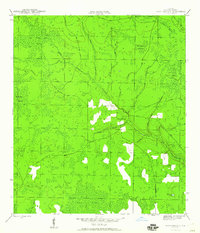
Editions of this 1945 Broad Branch Map
3 editions found
Other maps of this area

1944 · Clarksville
USGS Topo · 1:31,680

1945 · Dead Lake
USGS Topo · 1:31,680

1945 · Juniper Creek
USGS Topo · 1:31,680

1945 · Youngstown
USGS Topo · 1:31,680

1945 · Clarksville
USGS Topo · 1:31,680

1945 · North Of Allanton
USGS Topo · 1:31,680

1945 · Frink
USGS Topo · 1:31,680

1945 · Fountain
USGS Topo · 1:31,680

1945 · Tenmile Swamp
USGS Topo · 1:31,680

1954 · Tallahassee
USGS Topo · 1:250,000