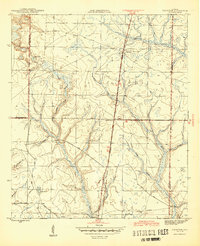
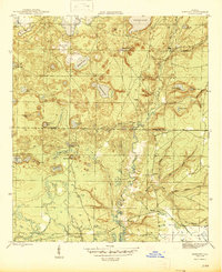
1945 Map of Fountain
USGS Topo · Published 1945About this map
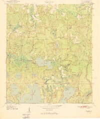
Fountain and Youngstown anchor this mid-1940s landscape where the piney woods of North Florida meet a complex network of wetlands and creeks. The terrain is defined by the Juniper Creek and Bear drainages, which weave through a series of natural basins like Bear Pond and Open Pond. A notable landmark of the era, the Youngstown Lookout Tower, sits near the Base Line, overseeing the timber-rich territory. The presence of a Tramroad in the southeastern quadrant suggests the area's reliance on the forest products industry, providing a route for moving timber out of the swamps and flats. Near the western boundary, the settlement of Vicksburg is situated along the County Road, while the Atlanta and St. Andrews Bay Road provides the primary north-south corridor through this section of Bay County.
Find a feature on this map
24 named features on this map. Tap any name to fly to it.
Don’t see what you’re looking for? This feature index may not catch every label — zoom into the map to look around manually.
Map Details
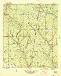
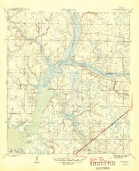
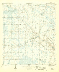
Editions of this 1945 Fountain Map
3 editions found

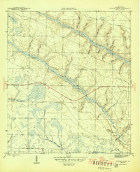
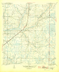
Other maps of this area

1944 · Bayhead
USGS Topo · 1:24,000

1944 · Bennett
USGS Topo · 1:24,000
1945 · Juniper Creek
USGS Topo · 1:31,680
1945 · Youngstown
USGS Topo · 1:31,680
1945 · Bennett
USGS Topo · 1:31,680
1945 · Bayhead
USGS Topo · 1:31,680
1945 · Broad Branch
USGS Topo · 1:31,680
1950 · Gap Lake
USGS Topo · 1:24,000
1951 · Gap Pond
USGS Topo · 1:24,000
1952 · Alford SE
USGS Topo · 1:24,000