
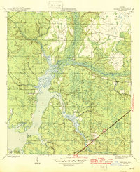
1945 Map of Bayhead
USGS Topo · Published 1945About this map
St Andrews Bay dominates the western portion of this mid-1940s landscape, where its brackish waters meet a complex network of bayous and creeks. Small settlements and landings like Mc Allaster Landing and Camp Flowers suggest a coastal economy tied to the water long before modern development transformed the Florida Panhandle. The interior is defined by the winding course of Econfina Creek and Bear Creek, which feed into the northern reaches of the bay.
Find a feature on this map
31 named features on this map. Tap any name to fly to it.
Don’t see what you’re looking for? This feature index may not catch every label — zoom into the map to look around manually.
Map Details
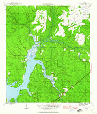
Editions of this 1945 Bayhead Map
3 editions found
Other maps of this area

1943 · Panama City
USGS Topo · 1:31,680

1943 · Southport
USGS Topo · 1:24,000

1944 · Southport
USGS Topo · 1:24,000

1944 · Crystal Lake
USGS Topo · 1:24,000

1944 · Bayhead
USGS Topo · 1:24,000

1944 · Bennett
USGS Topo · 1:24,000

1945 · Youngstown
USGS Topo · 1:31,680

1945 · Bennett
USGS Topo · 1:31,680

1945 · North Of Allanton
USGS Topo · 1:31,680

1945 · Crystal Lake
USGS Topo · 1:31,680