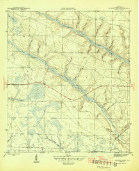
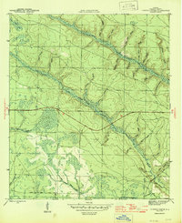
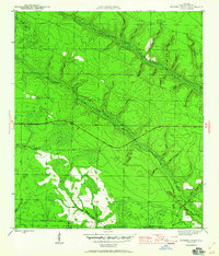
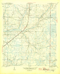
1945 Map of Juniper Creek
USGS Topo · Published 1945About this map
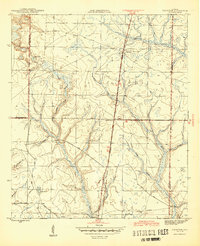
Juniper Creek snakes through this low-lying region of Calhoun County, defining a landscape dominated by intricate drainage systems and seasonal wetlands. Surveyed during the final years of the Second World War, the map illustrates a rural environment where water movement dictated the layout of the land. Small watercourses like Max Spring Branch and Dutch Pond Branch feed into larger systems, while the southern reaches transition into the broad expanse of Buzzards Bay Swamp.
Find a feature on this map
26 named features on this map. Tap any name to fly to it.
Don’t see what you’re looking for? This feature index may not catch every label — zoom into the map to look around manually.
Map Details
Editions of this 1945 Juniper Creek Map
3 editions found
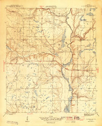
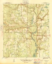
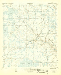
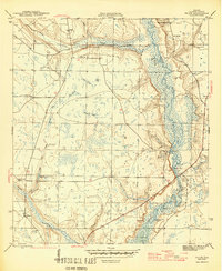
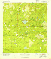
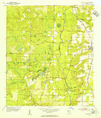
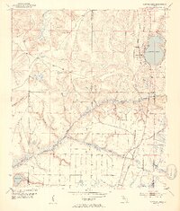
Other maps of this area
1944 · Clarksville
USGS Topo · 1:31,680
1945 · Youngstown
USGS Topo · 1:31,680
1945 · Clarksville
USGS Topo · 1:31,680
1945 · Broad Branch
USGS Topo · 1:31,680
1945 · Frink
USGS Topo · 1:31,680
1945 · Fountain
USGS Topo · 1:31,680
1952 · Alford SE
USGS Topo · 1:24,000
1952 · Altha West
USGS Topo · 1:24,000
1952 · Compass Lake
USGS Topo · 1:24,000

1954 · Tallahassee
USGS Topo · 1:250,000