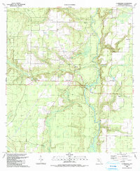
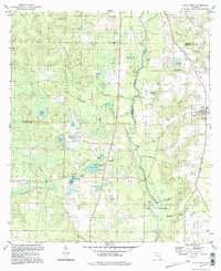
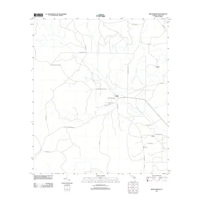
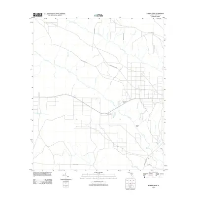
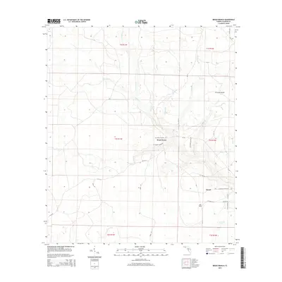
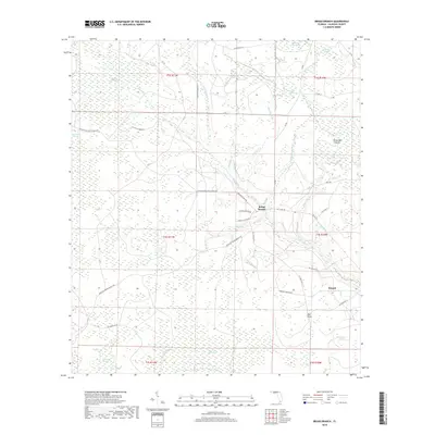
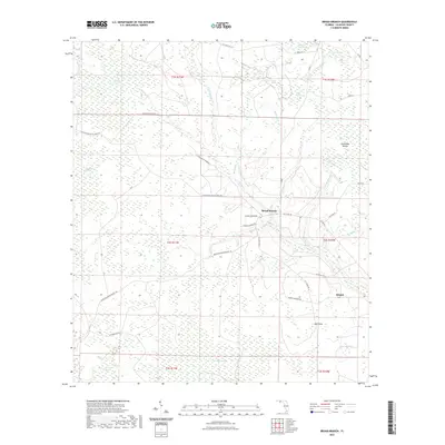
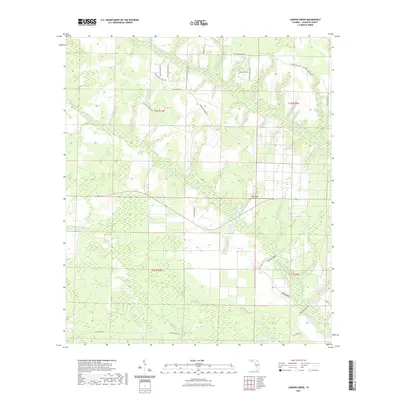
1945 Map of Broad Branch
USGS Topo · Published 1960About this map
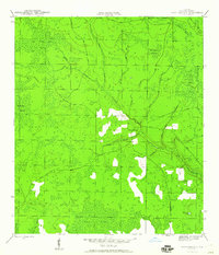
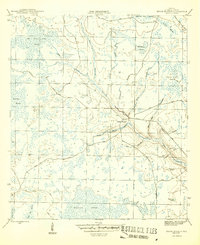
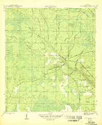
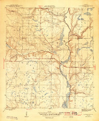
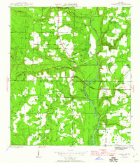
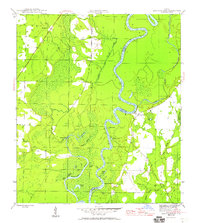
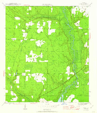
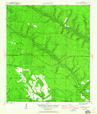
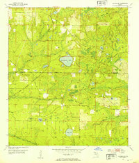
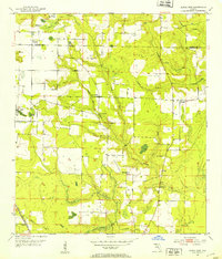
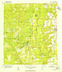
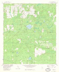
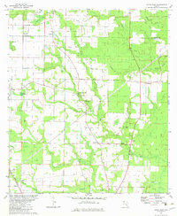
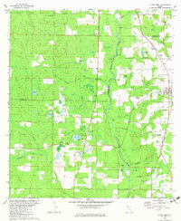
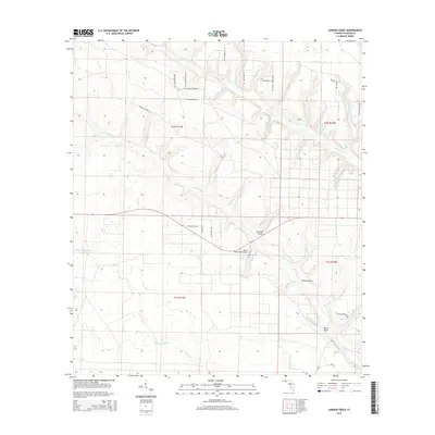
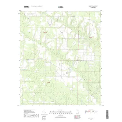
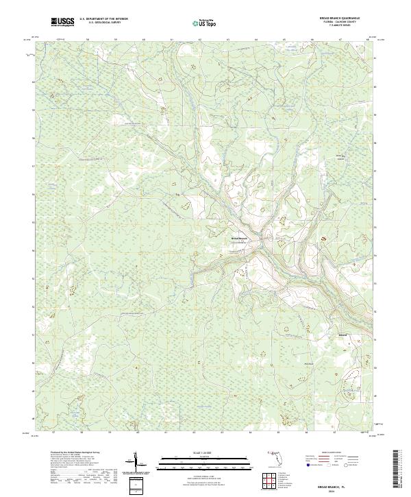
Broad Branch and Kinard anchor this mid-century survey of the Florida panhandle, where the landscape is defined by an intricate network of wetlands and seasonal drainages. The area is dominated by the vast Wetappo Swamp and Old Camp Four Swamp, revealing a terrain that challenged early road building and settlement. Local transport is represented by the Scotts Ferry Road and Youngstown Road, which wind through the pines and cypress to connect these small rural communities.
Find a feature on this map
26 named features on this map. Tap any name to fly to it.
Don’t see what you’re looking for? This feature index may not catch every label — zoom into the map to look around manually.
Map Details
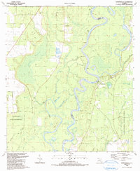
Editions of this 1945 Broad Branch Map
3 editions found
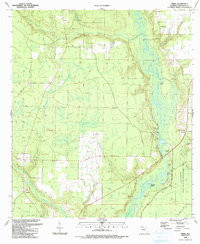
Historical Maps of Broad Branch Through Time
59 maps found
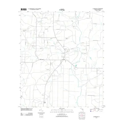
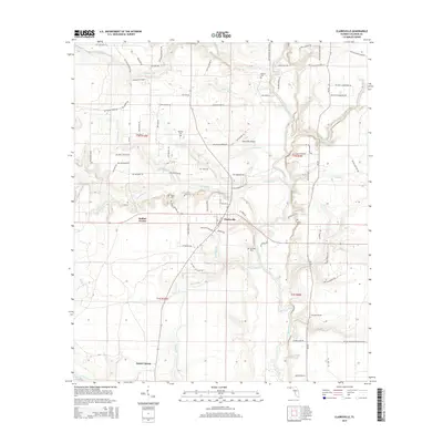
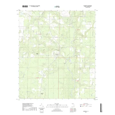
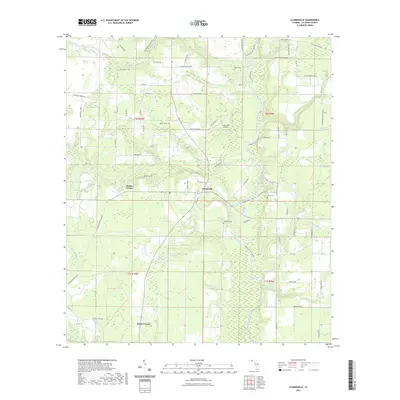
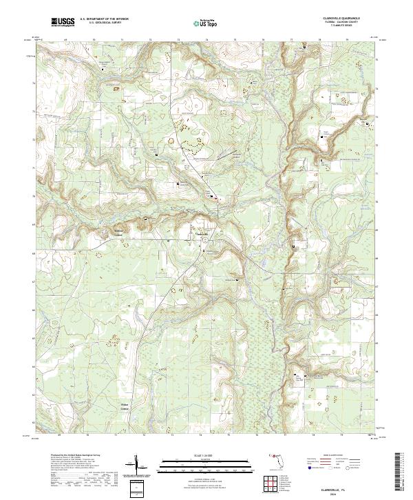
1944 Clarksville
Calhoun County, FL
1945 Broad Branch
Calhoun County, FL
1945 Clarksville
Calhoun County, FL
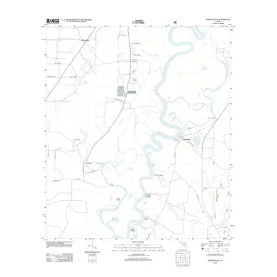
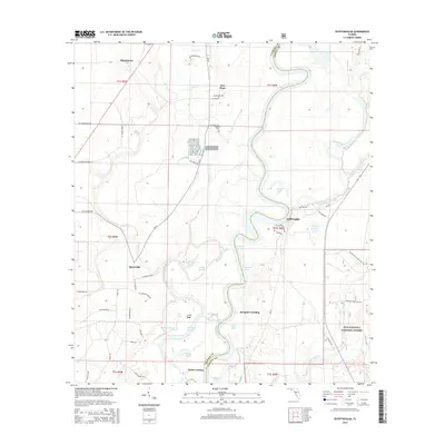
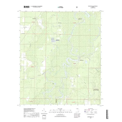
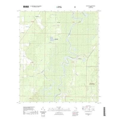
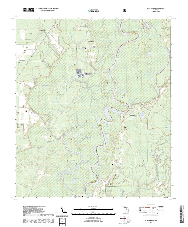
1945 Estiffanulga
Calhoun County, FL
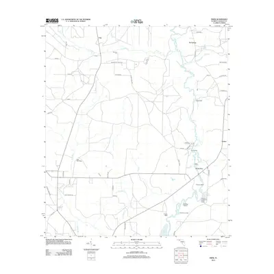
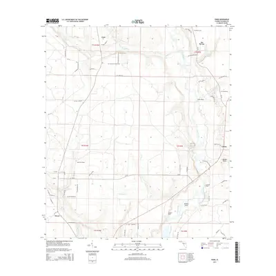
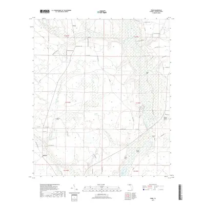
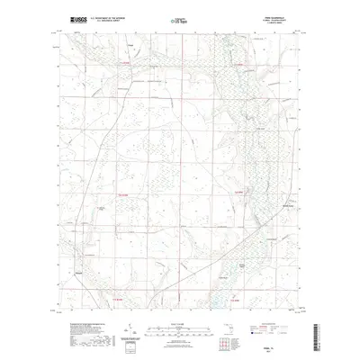
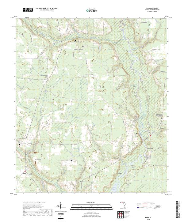
1945 Frink
Calhoun County, FL
1945 Juniper Creek
Calhoun County, FL
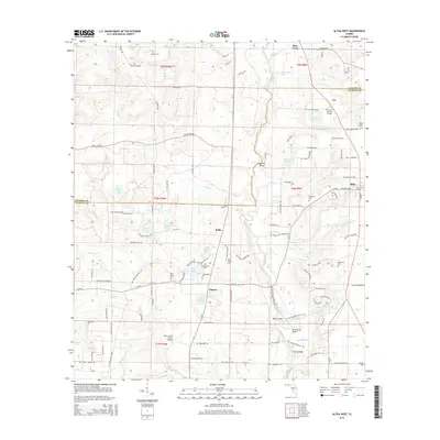
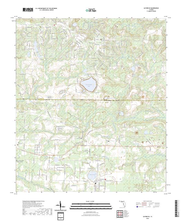
1952 Alford SE
Calhoun County, FL
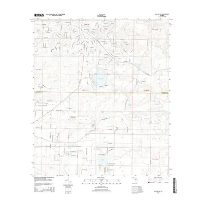
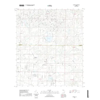
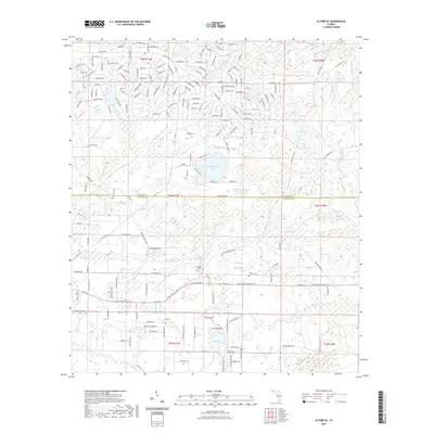
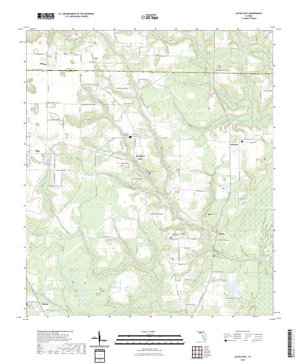
1952 Altha East
Calhoun County, FL
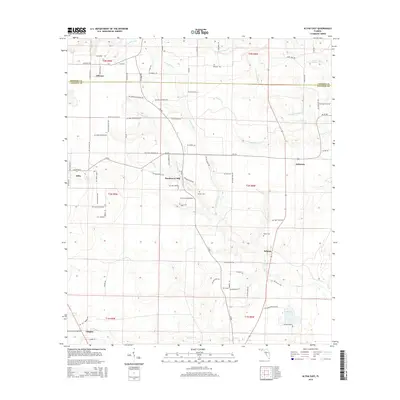
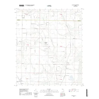
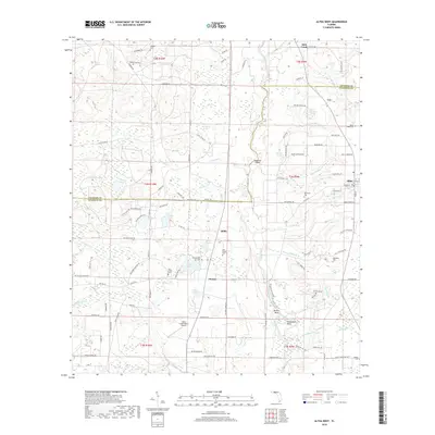
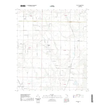
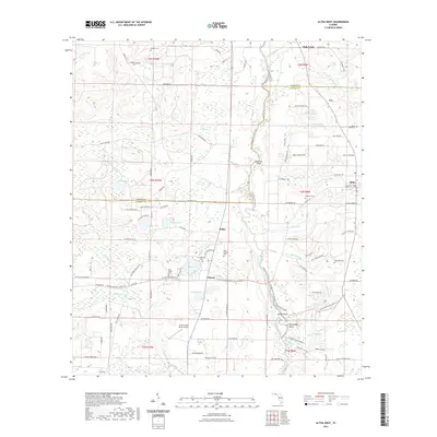
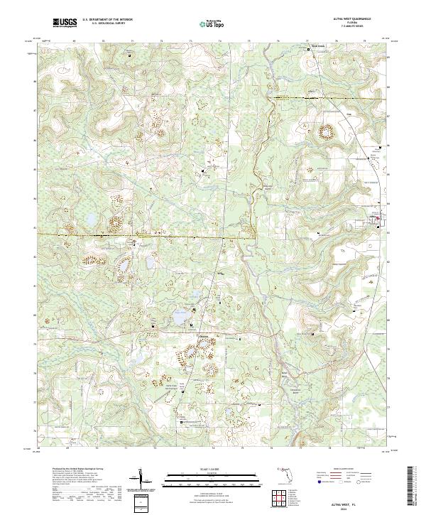
1952 Altha West
Calhoun County, FL
1982 Alford SE
Calhoun County, FL
1982 Altha East
Calhoun County, FL
1982 Altha West
Calhoun County, FL
1982 Broad Branch
Calhoun County, FL
1982 Juniper Creek
Calhoun County, FL
1990 Clarksville
Calhoun County, FL
1990 Estiffanulga
Calhoun County, FL
1990 Frink
Calhoun County, FL
1994 Altha East
Calhoun County, FL
1994 Altha West
Calhoun County, FL
2012 Alford SE
Calhoun County, FL
2012 Altha East
Calhoun County, FL
2012 Altha West
Calhoun County, FL
2012 Broad Branch
Calhoun County, FL
2012 Clarksville
Calhoun County, FL
2012 Estiffanulga
Calhoun County, FL
2012 Frink
Calhoun County, FL
2012 Juniper Creek
Calhoun County, FL
2015 Alford SE
Calhoun County, FL
2015 Altha East
Calhoun County, FL
2015 Altha West
Calhoun County, FL
2015 Broad Branch
Calhoun County, FL
2015 Clarksville
Calhoun County, FL
2015 Estiffanulga
Calhoun County, FL
2015 Frink
Calhoun County, FL
2015 Juniper Creek
Calhoun County, FL
2018 Alford SE
Calhoun County, FL
2018 Altha East
Calhoun County, FL
2018 Altha West
Calhoun County, FL
2018 Broad Branch
Calhoun County, FL
2018 Clarksville
Calhoun County, FL
2018 Estiffanulga
Calhoun County, FL
2018 Frink
Calhoun County, FL
2018 Juniper Creek
Calhoun County, FL
2021 Alford SE
Calhoun County, FL
2021 Altha East
Calhoun County, FL
2021 Altha West
Calhoun County, FL
2021 Broad Branch
Calhoun County, FL
2021 Clarksville
Calhoun County, FL
2021 Estiffanulga
Calhoun County, FL
2021 Frink
Calhoun County, FL
2021 Juniper Creek
Calhoun County, FL
2024 Alford SE
Calhoun County, FL
2024 Altha East
Calhoun County, FL
2024 Altha West
Calhoun County, FL
2024 Broad Branch
Calhoun County, FL
2024 Clarksville
Calhoun County, FL
2024 Estiffanulga
Calhoun County, FL
2024 Frink
Calhoun County, FL
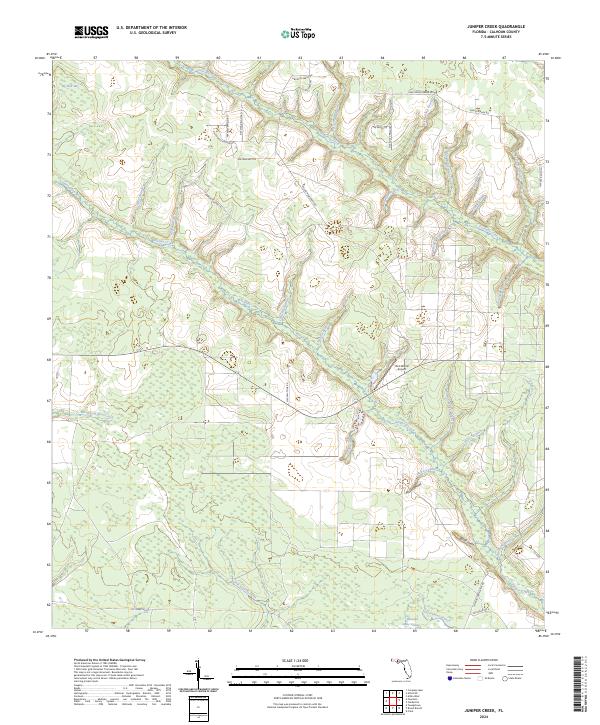
2024 Juniper Creek
Calhoun County, FL