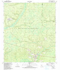
1945 Map of Hosford
USGS Topo · Published 1945About this map
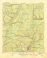
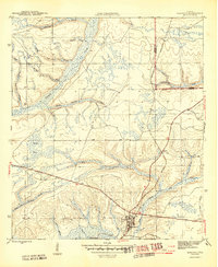
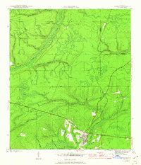
Hosford serves as the central hub of this 1944 survey, situated at the junction of several rail and road routes in the Florida Panhandle. The community is defined by its proximity to the Apalachicola Northern railroad, which snakes through the landscape alongside timber-rich drainages like Telogia Creek and Big Creek. To the northeast, the small settlement of Lowry is nestled near the county line, while the Kent Cem provides a specific point of interest for those researching local family lineages. The terrain is characterized by a dense network of branches and creeks, including the curiously named Bumpy Bay and Panther Creek. The presence of the Base Line running east-west across the quadrangle reflects the systematic land surveying that organized this portion of Liberty County during a time of steady rural development.
Find a feature on this map
24 named features on this map. Tap any name to fly to it.
Don’t see what you’re looking for? This feature index may not catch every label — zoom into the map to look around manually.
Map Details
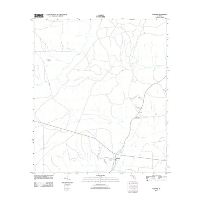
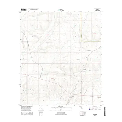
Editions of this 1945 Hosford Map
3 editions found
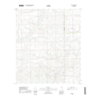
Historical Maps of Lowry Through Time
7 maps found