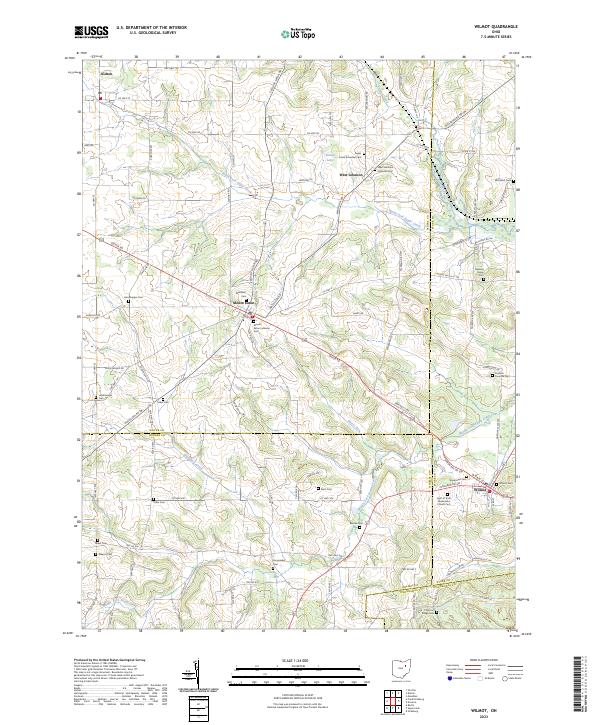
2023 Map of Wilmot
USGS Topo · Published 2023About this map
The rolling agricultural landscape where Wayne, Holmes, Stark, and Tuscarawas counties converge is anchored by the village of Wilmot and the hilltop settlement of Mount Eaton. This area is defined by its deep-rooted religious and family heritage, evidenced by a dense network of burial grounds such as Light of Truth Mennonite Church Cem, Westlawn Cem, and the specialized Foxfield Preserve Cem. The terrain is carved by the winding paths of Sugar Creek and its branches, including the North Fork Sugar Creek and Middle Fork Sugar Creek. The drainage patterns provided by Misers Run and Crabapple Creek historically influenced the placement of farms and small hamlets like West Lebanon. This survey captures the contemporary road network, including Dover Rd and Massillon Rd, which connect these dispersed rural communities and family-named landmarks.
Find a feature on this map
108 named features on this map. Tap any name to fly to it.
Don’t see what you’re looking for? This feature index may not catch every label — zoom into the map to look around manually.
Map Details
Editions of this 2023 Wilmot Map
This is the sole edition of this map. No revisions or reprints were ever made.
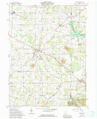
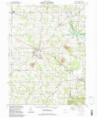
Historical Maps of Tuscarawas Township Through Time
Featured Locations
- Sugar Creek Township, OH
- Tuscarawas Township, OH
- Mount Eaton, Paint Township
- West Lebanon, Paint Township
- Wilmot, Sugar Creek Township