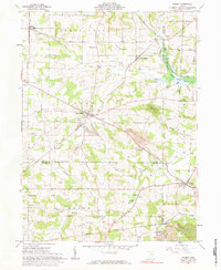
1961 Map of Wilmot
USGS Topo · Published 1984About this map
Mount Eaton and Wilmot anchor this landscape at the intersection of Wayne, Stark, and Holmes counties. The terrain is marked by a legacy of rural infrastructure, including a network of country schools such as Sunny View Sch, Pleasant View Sch, and Meadow Valley Sch, alongside numerous family-named burial grounds like Hershberger Cem and Keim Cem. This 1961 survey captures the region just before the mid-century transition, showing the New York Chicago and St Louis railroad cutting through the northeast corner near Elton.
Find a feature on this map
57 named features on this map. Tap any name to fly to it.
Don’t see what you’re looking for? This feature index may not catch every label — zoom into the map to look around manually.
Map Details
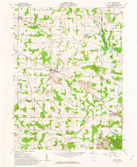
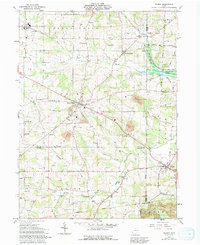
Editions of this 1961 Wilmot Map
Other maps of this area

1901 · Massillon
USGS Topo · 1:62,500

1901 · Wooster
USGS Topo · 1:62,500

1903 · Massillon
USGS Topo · 1:62,500

1903 · Wooster
USGS Topo · 1:62,500

1914 · Navarre
USGS Topo · 1:62,500

1915 · Millersburg
USGS Topo · 1:62,500

1943 · Millersburg
USGS Topo · 1:62,500

1944 · Navarre
USGS Topo · 1:62,500

1951 · Canton
USGS Topo · 1:250,000

1953 · Canton
USGS Topo · 1:250,000