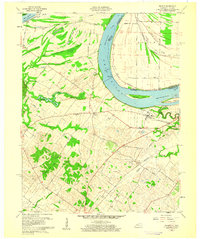
1959 Map of Wilson
USGS Topo · Published 1960About this map
The Ohio River dominates this landscape, winding between Kentucky and Indiana before the modern modifications changed its banks. Along the northern floodplains, an intricate network of wetlands including Little Cypress Slough, Muddy Slough, and Big Brushy Slough reveals the river's historical overflow patterns and the drainage challenges faced by early settlers. Landmarks such as Lock and Dam No 48 provide evidence of mid-century navigation efforts on the waterway, while the presence of Deadmans Island and Henderson Island indicates the shifting nature of the river channel.
Find a feature on this map
48 named features on this map. Tap any name to fly to it.
Don’t see what you’re looking for? This feature index may not catch every label — zoom into the map to look around manually.
Map Details
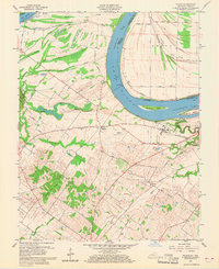
Editions of this 1959 Wilson Map
2 editions found
Other maps of this area

1906 · Sebree
USGS Topo · 1:62,500

1907 · Morganfield
USGS Topo · 1:62,500

1914 · Henderson
USGS Topo · 1:48,000

1916 · Henderson
USGS Topo · 1:62,500

1917 · Uniontown
USGS Topo · 1:62,500

1949 · Poole
USGS Topo · 1:24,000

1949 · Robards
USGS Topo · 1:24,000

1951 · Poole
USGS Topo · 1:24,000

1951 · Waverly
USGS Topo · 1:24,000

1951 · Robards
USGS Topo · 1:24,000