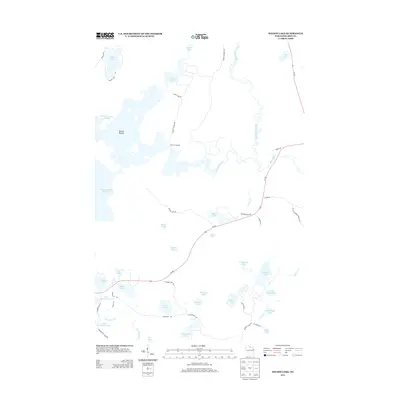
2013 Map of Wilson Lake
USGS Topo · Published 2013About this map
The Turtle Flambeau Flowage dominates the western portion of this Iron County landscape, representing a significant intersection of natural river systems and human-engineered water management. To the east, the Lac du Flambeau Indian Res boundary marks a distinct transition in land use and historical heritage. The complex hydrography of the region is defined by the convergence of the Manitowish River, Flambeau River, and Bear River, which provided the primary transportation corridors for early residents and industry.
Find a feature on this map
56 named features on this map. Tap any name to fly to it.
Don’t see what you’re looking for? This feature index may not catch every label — zoom into the map to look around manually.
Map Details
Editions of this 2013 Wilson Lake Map
This is the sole edition of this map. No revisions or reprints were ever made.
Other maps of this area

1938 · Lac Du Flambeau
USGS Topo · 1:48,000

1939 · Lac Du Flambeau
USGS Topo · 1:48,000

1939 · Winchester
USGS Topo · 1:48,000

1940 · Mercer
USGS Topo · 1:48,000

1941 · Pike Lake
USGS Topo · 1:48,000

1942 · Pike Lake
USGS Topo · 1:48,000

1945 · Mercer
USGS Topo · 1:48,000

1946 · Winchester
USGS Topo · 1:48,000

1946 · Lac Du Flambeau
USGS Topo · 1:48,000

1947 · Mercer
USGS Topo · 1:48,000