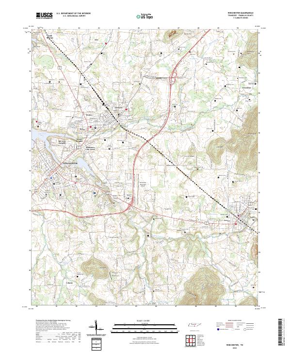
2022 Map of Winchester
USGS Topo · Published 2022About this map
Winchester and the neighboring industrial corridor of Decherd form the heart of this Franklin County landscape, where the CSX Transportation rail line facilitates local commerce. The map documents a significant concentration of genealogical sites, including the Decherd Negro Cem, Winchester City Cem, and several family burial grounds like the Decherd Family Cem. This data highlights the historical layering of the community, from the legacy of the Mary Sharp Sch to the newer development surrounding the Winchester Municipal Airport.
Find a feature on this map
146 named features on this map. Tap any name to fly to it.
Don’t see what you’re looking for? This feature index may not catch every label — zoom into the map to look around manually.
Map Details
Editions of this 2022 Winchester Map
This is the sole edition of this map. No revisions or reprints were ever made.
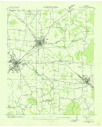
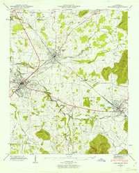
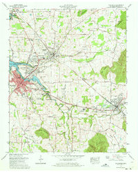
Historical Maps of Keese Through Time
4 maps found