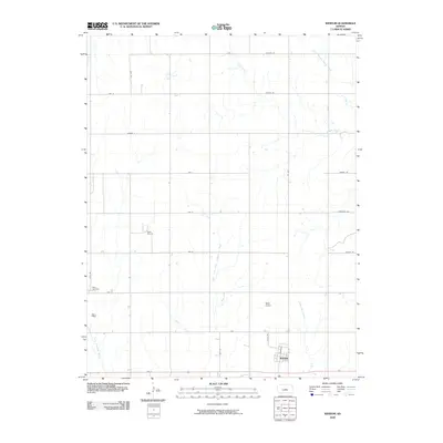
2009 Map of Windom
USGS Topo · Published 2009About this map
The town of Windom sits at the southern edge of this survey, organized around a classic grid where Main St and 1st St intersect near the railway corridor. This Central Kansas landscape is defined by the complex drainage of the Little Arkansas River and its numerous tributaries, including the North Fork Little Arkansas River and the meandering Salt Creek. The rural sections are largely partitioned by a strict grid of county roads, such as Ave C and 28th Rd, reflecting the intensive agricultural use of the region. Evidence of the local energy economy appears at the Rellim Oil Field, while the Bean Cemetery and Neel Airport serve as localized landmarks among the prairie streams. The density of named waterways like Sharps Creek and Wolf Creek highlights the hydrological network that has shaped settlement patterns and land use in McPherson County.
Find a feature on this map
32 named features on this map. Tap any name to fly to it.
Don’t see what you’re looking for? This feature index may not catch every label — zoom into the map to look around manually.
Map Details
Editions of this 2009 Windom Map
This is the sole edition of this map. No revisions or reprints were ever made.
Other maps of this area

1891 · Hutchinson
USGS Topo · 1:125,000

1892 · Salina
USGS Topo · 1:125,000

1893 · Hutchinson
USGS Topo · 1:125,000

1894 · Ellsworth
USGS Topo · 1:125,000

1894 · Lyons
USGS Topo · 1:125,000

1942 · Salina
USGS Topo · 1:125,000

1955 · Great Bend
USGS Topo · 1:250,000

1955 · Hutchinson
USGS Topo · 1:250,000

1957 · Great Bend
USGS Topo · 1:250,000

1958 · Great Bend
USGS Topo · 1:250,000