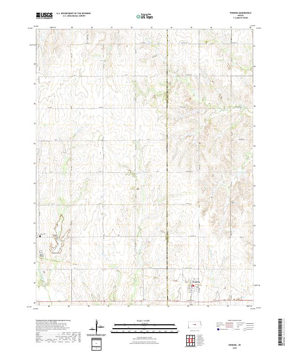
2022 Map of Windom
USGS Topo · Published 2022About this map
The town of Windom sits at the heart of this agrarian landscape, straddling the border between Rice and McPherson counties. The terrain is defined by the headwaters and drainage of several key waterways, most notably the Little Arkansas River which meanders through the southwestern corner. These prairie streams, including Salt Cr and Sharps Cr, dictate the layout of the local section roads and agricultural boundaries. For those researching local history, the Bean Cem provides a specific point of genealogical interest west of the primary settlement. The map reveals a strict grid system of county roads, such as Co RD 444 and Ave K, that facilitates movement between the scattered farmsteads and the central hub of Windom.
Find a feature on this map
41 named features on this map. Tap any name to fly to it.
Don’t see what you’re looking for? This feature index may not catch every label — zoom into the map to look around manually.
Map Details
Editions of this 2022 Windom Map
This is the sole edition of this map. No revisions or reprints were ever made.
Other maps of this area

1891 · Hutchinson
USGS Topo · 1:125,000

1892 · Salina
USGS Topo · 1:125,000

1893 · Hutchinson
USGS Topo · 1:125,000

1894 · Ellsworth
USGS Topo · 1:125,000

1894 · Lyons
USGS Topo · 1:125,000

1942 · Salina
USGS Topo · 1:125,000

1955 · Great Bend
USGS Topo · 1:250,000

1955 · Hutchinson
USGS Topo · 1:250,000

1957 · Great Bend
USGS Topo · 1:250,000

1958 · Great Bend
USGS Topo · 1:250,000