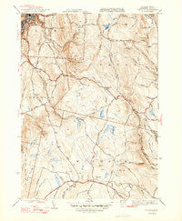
1947 Map of Windsor
USGS Topo · Published 1947About this map
The town of Adams sits at the base of the eastern slopes of the Hoosac Range, marking the transition from industrialized valley floors to the high, wooded plateau of Berkshire County. Mapped in the mid-1940s, this area is defined by the high-elevation headwaters of major drainages, including the Westfield River and the Chickley River. Settlement patterns are concentrated along upland roads in the township of Savoy, where nodes like Savoy Center and the Cherry Hill Sch served a dispersed rural population.
Find a feature on this map
71 named features on this map. Tap any name to fly to it.
Don’t see what you’re looking for? This feature index may not catch every label — zoom into the map to look around manually.
Map Details
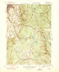
Editions of this 1947 Windsor Map
2 editions found
Other maps of this area

1886 · Greylock
USGS Topo · 1:62,500

1886 · Hawley
USGS Topo · 1:62,500

1886 · Chesterfield
USGS Topo · 1:62,500

1886 · Becket
USGS Topo · 1:62,500

1888 · Becket
USGS Topo · 1:62,500

1888 · Chesterfield
USGS Topo · 1:62,500

1890 · Hawley
USGS Topo · 1:62,500

1891 · Greylock
USGS Topo · 1:62,500

1893 · Chesterfield
USGS Topo · 1:62,500

1893 · Becket
USGS Topo · 1:62,500