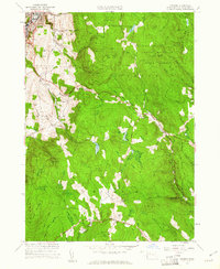
1960 Map of Windsor
USGS Topo · Published 1961About this map
The high Berkshires of western Massachusetts are defined here by the extensive timberlands of the Savoy Mountain State Forest and Windsor State Forest. While the northwestern corner shows the dense industrial and residential layout of Adams, the remainder of the landscape is dominated by steep summits like Savoy Mountain and Borden Mtn. Small pockets of high-altitude agriculture and early settlement persist at Savoy Center and Windsor. This 1960 revision documents the route of the Appalachian Trail as it traverses Weston Mountain, passing through a network of small headwaters including Flintstone Brook and Dry Brook. Local history is anchored by the Crane Sch and cemeteries like Wells Cem, while recreational and utility landmarks include the Walker Lookout Tower and the Memorial Tower near the Adams town line.
Find a feature on this map
60 named features on this map. Tap any name to fly to it.
Don’t see what you’re looking for? This feature index may not catch every label — zoom into the map to look around manually.
Map Details
Editions of this 1960 Windsor Map
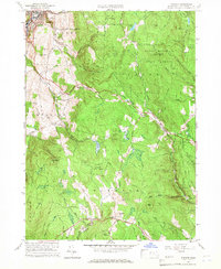
2 editions found
Other maps of this area

1886 · Greylock
USGS Topo · 1:62,500

1886 · Hawley
USGS Topo · 1:62,500

1886 · Chesterfield
USGS Topo · 1:62,500

1886 · Becket
USGS Topo · 1:62,500

1888 · Becket
USGS Topo · 1:62,500

1888 · Chesterfield
USGS Topo · 1:62,500

1890 · Hawley
USGS Topo · 1:62,500

1891 · Greylock
USGS Topo · 1:62,500

1893 · Chesterfield
USGS Topo · 1:62,500

1893 · Becket
USGS Topo · 1:62,500