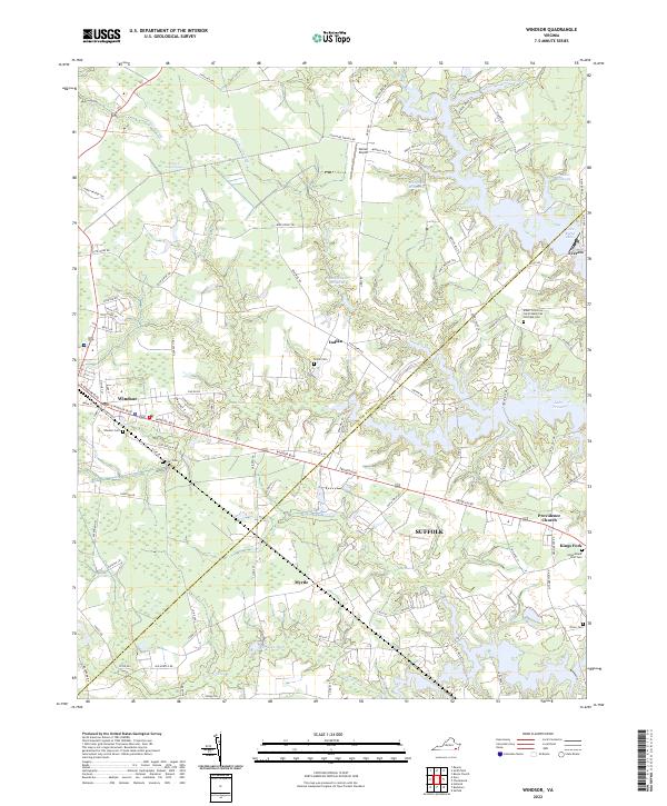
2022 Map of Windsor
USGS Topo · Published 2022About this map
Windsor stands as a central point of settlement in this coastal plain landscape, where the town’s street grid meets the sprawling waters of the Virginia Tidewater. The geography is defined by a complex network of wetlands and millponds, including Murphys Millpond and Lake Burnt Mills, which speak to the historical management of local waterways for industry and resources. To the east, the map captures the transition into Suffolk and the large expanse of Lake Prince. Local history is deeply etched into the land through sites like the Albert G Horton Junior Memorial Veterans Cem and smaller community focal points such as Indika and Myrtle. The presence of Garner Airport and numerous pocosin and swamp features, such as the String of Logs Pocosin, illustrates a landscape where modern infrastructure must navigate a naturally saturated environment.
Find a feature on this map
99 named features on this map. Tap any name to fly to it.
Don’t see what you’re looking for? This feature index may not catch every label — zoom into the map to look around manually.
Map Details
Editions of this 2022 Windsor Map
This is the sole edition of this map. No revisions or reprints were ever made.
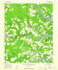
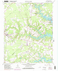
Historical Maps of Myrtle Through Time
3 maps found