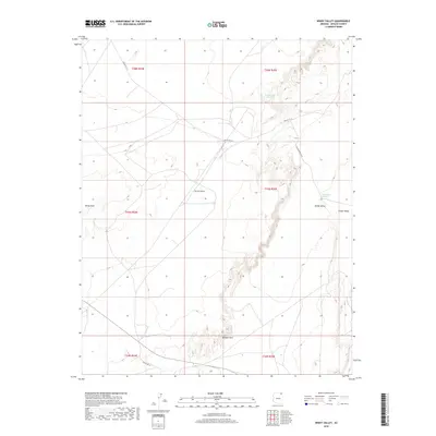
2018 Map of Windy Valley
USGS Topo · Published 2018About this map
Chinle Valley dominates the eastern landscape of this quadrangle, where the arid terrain transitions from the high elevations of Carson Mesa down to the drainage of Windy Valley. The 2018 survey reveals a sparse network of roads, notably Indian Rte 18 and Old Benehotso Rd, which navigate the rugged topography characteristic of the Shiprock Agency region. Water sources in this high-desert environment are localized and critical, represented here by Little Pipe Spring and the drainage at Toh Dah Hee Dat Conii. Near the southern boundary, the prominent landform of Window Rock stands as a significant geographic marker. The grid-like division of townships and ranges, such as t35n r25e, provides the underlying structure for land management across the vast White Hills and surrounding plateaus.
Find a feature on this map
16 named features on this map. Tap any name to fly to it.
Don’t see what you’re looking for? This feature index may not catch every label — zoom into the map to look around manually.
Map Details
Editions of this 2018 Windy Valley Map
This is the sole edition of this map. No revisions or reprints were ever made.
Other maps of this area

1892 · Canyon De Chelly
USGS Topo · 1:250,000

1954 · Shiprock
USGS Topo · 1:250,000

1958 · Shiprock
USGS Topo · 1:250,000

1959 · Shiprock
USGS Topo · 1:250,000

1968 · Rock Point SW
USGS Topo · 1:24,000
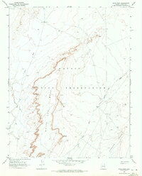
1968 · White Point
USGS Topo · 1:24,000
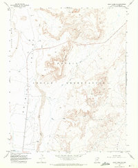
1968 · Many Farms NE
USGS Topo · 1:24,000

1968 · Many Farms SW
USGS Topo · 1:24,000

1968 · Windy Valley
USGS Topo · 1:24,000
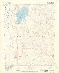
1968 · Many Farms
USGS Topo · 1:24,000