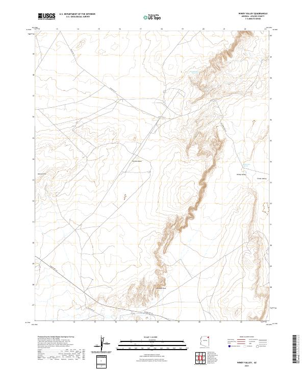
2021 Map of Windy Valley
USGS Topo · Published 2021About this map
Carson Mesa dominates the high ground of this Apache County landscape, where the arid terrain is defined by dramatic escarpments and scattered water sources. The map focuses on the eponymous Windy Valley and the edge of the Chinle Valley, a region where transportation routes like Indian Rte 18 and Indian Rte 59 trace the natural contours of the land. Historically significant paths, including the Old Dennehotso Rd, connect isolated landmarks across the high desert.
Find a feature on this map
17 named features on this map. Tap any name to fly to it.
Don’t see what you’re looking for? This feature index may not catch every label — zoom into the map to look around manually.
Map Details
Editions of this 2021 Windy Valley Map
This is the sole edition of this map. No revisions or reprints were ever made.
Other maps of this area

1892 · Canyon De Chelly
USGS Topo · 1:250,000

1954 · Shiprock
USGS Topo · 1:250,000

1958 · Shiprock
USGS Topo · 1:250,000

1959 · Shiprock
USGS Topo · 1:250,000

1968 · Rock Point SW
USGS Topo · 1:24,000
1968 · White Point
USGS Topo · 1:24,000
1968 · Many Farms NE
USGS Topo · 1:24,000

1968 · Many Farms SW
USGS Topo · 1:24,000

1968 · Windy Valley
USGS Topo · 1:24,000
1968 · Many Farms
USGS Topo · 1:24,000