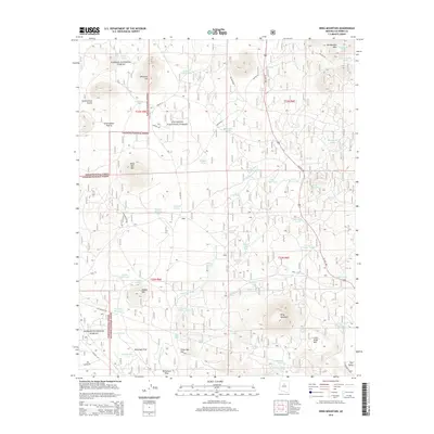
2014 Map of Wing Mountain
USGS Topo · Published 2014About this map
Wing Mountain and the surrounding high desert terrain dominate this part of the Coconino National Forest. The landscape is defined by its volcanic geology and water management, visible through numerous catchment basins such as Crater Lake, Malpais Tank, and Deer Trick Tank. Along the southern edge, the historic corridor of Old Rte "66" and the Gas Pipeline Rd track through the settlement of Bellemont, providing a clear view of the modern infrastructure that follows these long-established routes.
Find a feature on this map
73 named features on this map. Tap any name to fly to it.
Don’t see what you’re looking for? This feature index may not catch every label — zoom into the map to look around manually.
Map Details
Editions of this 2014 Wing Mountain Map
This is the sole edition of this map. No revisions or reprints were ever made.
Other maps of this area

1886 · San Francisco Mtns
USGS Topo · 1:250,000

1891 · San Francisco Mtns
USGS Topo · 1:250,000

1894 · San Francisco Mtns
USGS Topo · 1:250,000

1899 · San Francisco Mtns
USGS Topo · 1:250,000

1908 · Flagstaff
USGS Topo · 1:125,000

1912 · Flagstaff
USGS Topo · 1:125,000

1947 · Flagstaff
USGS Topo · 1:250,000

1954 · Flagstaff
USGS Topo · 1:250,000

1958 · Flagstaff
USGS Topo · 1:250,000

1960 · Flagstaff
USGS Topo · 1:250,000