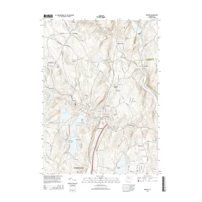
2015 Map of Winsted
USGS Topo · Published 2015About this map
The Winsted settlement and the northern reaches of Torrington anchor this Litchfield County landscape, where the Still River and Mad River converge. The topography is defined by significant water management and recreation sites, including Highland Lake, Crystal Lake, and the large West Branch Reservoir on the West Branch Farmington River. Educational and community life is centered at the Northwestern Connecticut Community Coll campus in Winsted, while the map records numerous burial sites that serve as vital genealogical markers, such as the Old North Road Burying Ground and Forest View Cem. Outside the main hubs, smaller hamlets like Riverton and Colebrook sit among a network of family-named heights including Panorama Hill and Babb Hill. This modern survey documents a region defined by its narrow valleys, river-fed reservoirs, and the enduring footprints of early mountain-town settlements.
Find a feature on this map
163 named features on this map. Tap any name to fly to it.
Don’t see what you’re looking for? This feature index may not catch every label — zoom into the map to look around manually.
Map Details
Editions of this 2015 Winsted Map
This is the sole edition of this map. No revisions or reprints were ever made.
Other maps of this area

1887 · Granville
USGS Topo · 1:62,500

1888 · Sandisfield
USGS Topo · 1:62,500

1889 · Granville
USGS Topo · 1:62,500

1892 · Winsted
USGS Topo · 1:62,500

1892 · Granby
USGS Topo · 1:62,500

1893 · Granville
USGS Topo · 1:62,500

1893 · Sandisfield
USGS Topo · 1:62,500

1895 · Granville
USGS Topo · 1:62,500

1896 · Holyoke
USGS Topo · 1:125,000

1897 · Sandisfield
USGS Topo · 1:62,500