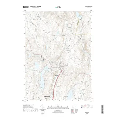
2018 Map of Winsted
USGS Topo · Published 2018About this map
Winsted sits at the heart of this Litchfield County survey, situated where the Mad River and Still River converge. The landscape is defined by its diverse water bodies and industrial-era infrastructure, including the Mad River Dam and the complex shoreline of Highland Lake. This lake is notable for its distinct sections, such as First Bay and Second Bay, and named landforms like Wintergreen Island and Indian Point.
Find a feature on this map
158 named features on this map. Tap any name to fly to it.
Don’t see what you’re looking for? This feature index may not catch every label — zoom into the map to look around manually.
Map Details
Editions of this 2018 Winsted Map
This is the sole edition of this map. No revisions or reprints were ever made.
Other maps of this area

1887 · Granville
USGS Topo · 1:62,500

1888 · Sandisfield
USGS Topo · 1:62,500

1889 · Granville
USGS Topo · 1:62,500

1892 · Winsted
USGS Topo · 1:62,500

1892 · Granby
USGS Topo · 1:62,500

1893 · Granville
USGS Topo · 1:62,500

1893 · Sandisfield
USGS Topo · 1:62,500

1895 · Granville
USGS Topo · 1:62,500

1896 · Holyoke
USGS Topo · 1:125,000

1897 · Sandisfield
USGS Topo · 1:62,500