Loading...
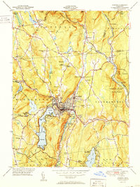
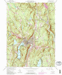
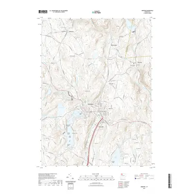
Loading map...1951 Map of Winsted
USGS Topo · Published 1951About this map
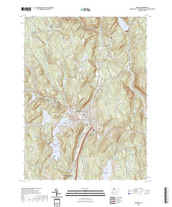
The industrial and social heart of Winsted is captured here at the mid-century, where the Mad River and Still River converge in a dense network of streets and factory sites. This survey reveals a landscape balanced between the busy urban center of the Winchester town area and the expansive greenery of surrounding conservation lands, including the Algonquin State Forest and American Legion State Forest.
Find a feature on this map
70 named features on this map. Tap any name to fly to it.
Don’t see what you’re looking for? This feature index may not catch every label — zoom into the map to look around manually.
Map Details
Date Portrayed1951
Date Published1951
PublisherU.S. Geological Survey
Map TypeTopographic
Scale1:31,680
Physical Dimensions15.5 x 20.7 inches
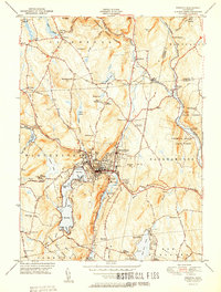
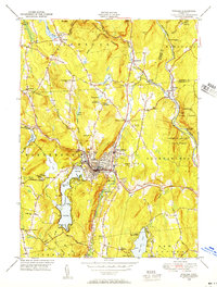
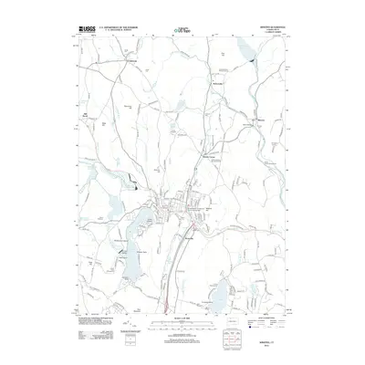
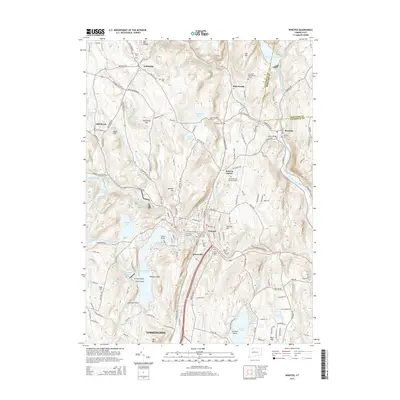
Editions of this 1951 Winsted Map
2 editions found
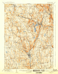
Historical Maps of Torrington Through Time
9 maps found
Featured Locations
Source Details
SourceU.S. Geological Survey
CopyrightPublic Domain