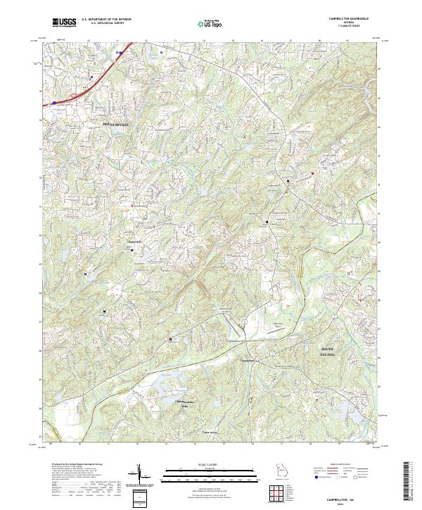
2024 Map of Winston
USGS Topo · Published 2024About this map
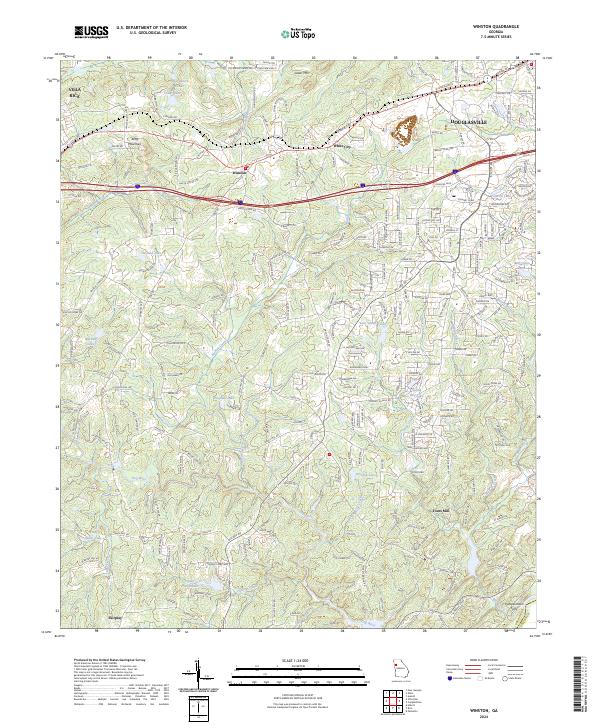
The Dog River drainage system dominates this area of Douglas County, winding past small settlements and family-named landmarks. The topographic detail captures a transition from the rolling terrain near Cedar Mtn and Andy Mountain to the lower-lying river valleys in the south. Local heritage is preserved in the names of early industry and transport hubs, including Fouts Mill and the historic river crossing at Pumpkintown Ferry on the boundary with Fulton County. Suburban expansion from Douglasville and Villa Rica stretches toward the center of the sheet, where the community of Winston and the residential pocket of White City are situated. The landscape is dotted with numerous small bodies of water like Lake Sweetwater, Johnson Lake, and Lake Sarah Glenn, reflecting the importance of private impoundments and rural water management in the region's contemporary geography.
Find a feature on this map
219 named features on this map. Tap any name to fly to it.
Don’t see what you’re looking for? This feature index may not catch every label — zoom into the map to look around manually.
Map Details
Editions of this 2024 Winston Map
This is the sole edition of this map. No revisions or reprints were ever made.
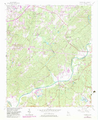
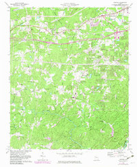
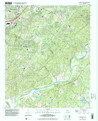
Historical Maps of Fouts Mill Through Time
5 maps found