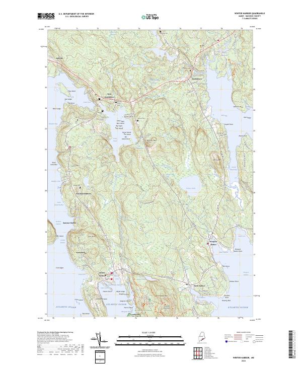
2024 Map of Winter Harbor
USGS Topo · Published 2024About this map
Schoodic Peninsula and the surrounding inlets of Hancock, Maine, define this coastal survey, where the Atlantic shoreline is punctuated by working harbors and family-named cemeteries. The map reveals a high concentration of generational burial sites, such as Nahum Jones Cem and Whitaker Cem, indicating a long history of local settlement near West Gouldsboro and South Gouldsboro. In the north, Chicken Millpond and Chicken Mill Stream suggest early water-powered industry, while the southern reaches are dominated by the protected lands of Acadia National Park.
Find a feature on this map
147 named features on this map. Tap any name to fly to it.
Don’t see what you’re looking for? This feature index may not catch every label — zoom into the map to look around manually.
Map Details
Editions of this 2024 Winter Harbor Map
This is the sole edition of this map. No revisions or reprints were ever made.
Other maps of this area

1902 · Cherryfield
USGS Topo · 1:62,500

1904 · Cherryfield
USGS Topo · 1:62,500

1904 · Bar Harbor
USGS Topo · 1:62,500

1904 · Petit Manan
USGS Topo · 1:62,500

1930 · Tunk Lake
USGS Topo · 1:48,000

1932 · Tunk Lake
USGS Topo · 1:62,500

1942 · Bar Harbor
USGS Topo · 1:62,500

1942 · Cherryfield
USGS Topo · 1:62,500

1942 · Tunk Lake
USGS Topo · 1:62,500

1948 · Bangor
USGS Topo · 1:250,000