1983 Map of Winterset
USGS Topo · Published 1984About this map
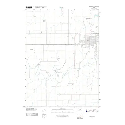
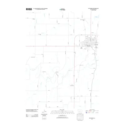
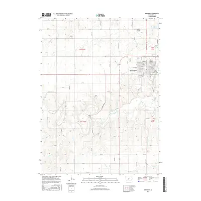
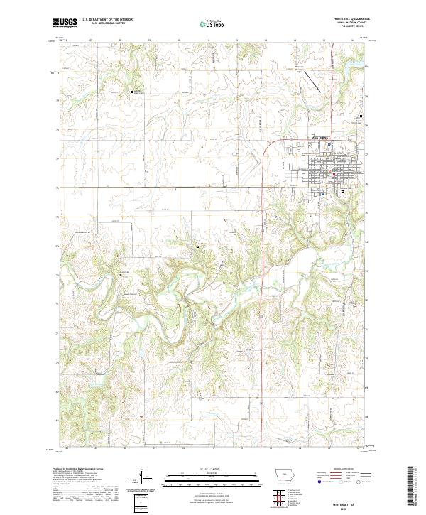
The town of Winterset serves as the focal point of this Madison County survey, showcasing its established street grid and civic landmarks like the Courthouse and City Hall. To the south, the Middle River carves a winding path through the landscape, anchoring the expansive Pammel State Park. This protected area is notable for containing the Harmon Tunnel, a rare engineering feature in the local terrain. The map also captures the Cutter-Donahue Covered Bridge east of the park, representing the iconic structural heritage of the region. Local genealogy is well-supported by numerous family-named burial grounds, including the McDonald-Chase Cem, Hooten Cem, and Gordon Cem. Aviation needs of the early 1980s are documented through the Winterset-Madison Co Airport and the smaller Jackson Landing Strip, reflecting a mix of public and private infrastructure near the county seat.
Find a feature on this map
30 named features on this map. Tap any name to fly to it.
Don’t see what you’re looking for? This feature index may not catch every label — zoom into the map to look around manually.
Map Details
Editions of this 1983 Winterset Map
This is the sole edition of this map. No revisions or reprints were ever made.
Historical Maps of Winterset Through Time
7 maps found