Loading...
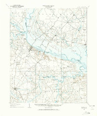
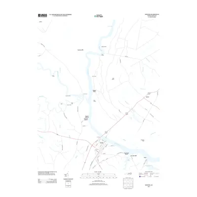
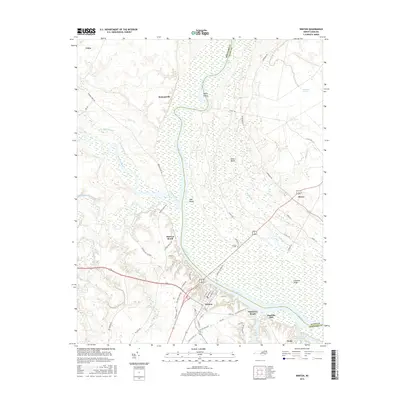
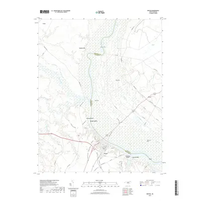
Loading map...1908 Map of Winton
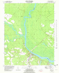
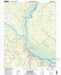
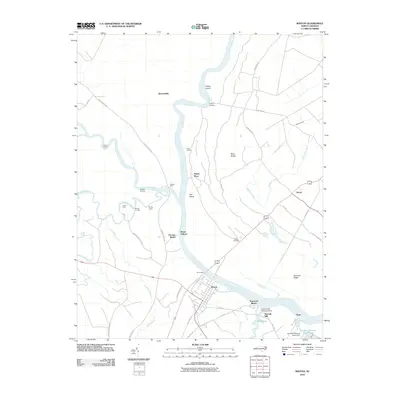
USGS Topo · Published 1973About this map
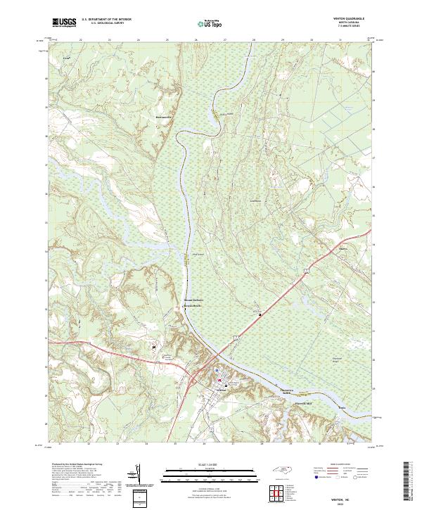
The Chowan River and Meherrin River serve as the dominant corridors for commerce and transit in this 1906 survey of the North Carolina borderlands. Small riverfront settlements like Winton, Tunis, and Cady Landing define the shoreline, while the interior is a complex network of wetlands including Whiteoak Pocoson and Horsepen Pocoson. The landscape reveals a society reliant on water-driven industry and river crossings, evidenced by numerous sites like Lilleys Millpond, Dildys Mill, and the Boone Harrell Ferry.
Find a feature on this map
120 named features on this map. Tap any name to fly to it.
Don’t see what you’re looking for? This feature index may not catch every label — zoom into the map to look around manually.
Map Details
Date Portrayed1908
Date Published1973
PublisherU.S. Geological Survey
Map TypeTopographic
Scale1:62,500
Physical Dimensions17.9 x 21.5 inches
Editions of this 1908 Winton Map
2 editions found

Historical Maps of Ahoskie Through Time
8 maps found
Featured Locations
Source Details
SourceU.S. Geological Survey
CopyrightPublic Domain