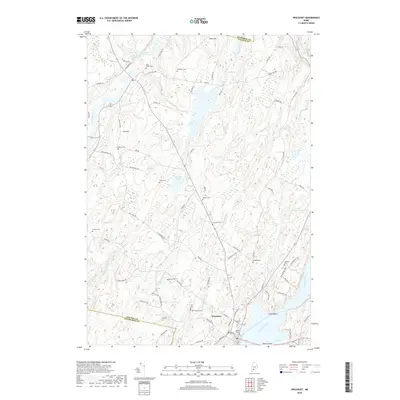
2018 Map of Wiscasset
USGS Topo · Published 2018About this map
The town of Wiscasset is situated at the confluence of the tidal Sheepscot River and Cod Cove, a location historically defined by its deep-water access and coastal topography. This inland coastal landscape is marked by a high density of ancestral burial grounds, including the Ancient Cem and Evergreen Cem near the town center, and the more remote Rhumrill Cem and Lowell Cem further north. These sites, along with family-named landmarks like Blinn Hill and Call Hill, provide significant data points for genealogical research in Lincoln County. The drainage patterns of Montsweag Brook and Ward Brook flow through a terrain of low ridges and marshes such as the Verney-Leighton Marsh, illustrating the complex maritime hydrology of the Midcoast region. Settlement patterns follow old routes like Old Dresden Rd and Bath Rd, which connect the harbor to the surrounding hills and the Eastern River valley.
Find a feature on this map
78 named features on this map. Tap any name to fly to it.
Don’t see what you’re looking for? This feature index may not catch every label — zoom into the map to look around manually.
Map Details
Editions of this 2018 Wiscasset Map
This is the sole edition of this map. No revisions or reprints were ever made.
Other maps of this area

1892 · Gardiner
USGS Topo · 1:62,500

1893 · Wiscasset
USGS Topo · 1:62,500

1893 · Boothbay
USGS Topo · 1:62,500

1894 · Bath
USGS Topo · 1:62,500

1920 · Bath
USGS Topo · 1:62,500

1941 · Boothbay
USGS Topo · 1:62,500

1943 · Gardiner
USGS Topo · 1:62,500

1943 · Boothbay
USGS Topo · 1:62,500

1944 · Wiscasset
USGS Topo · 1:62,500

1944 · Boothbay
USGS Topo · 1:62,500