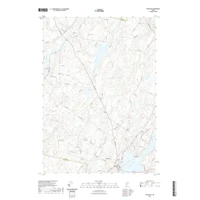
2021 Map of Wiscasset
USGS Topo · Published 2021About this map
Wiscasset serves as the focal point for this survey of coastal Maine, positioned where the Sheepscot River widens toward Cod Cove. The village layout is anchored by the Lincoln County Courthouse, reflecting its long-standing role as a center of local governance. Moving inland from the tidal waters, the landscape is defined by a series of north-south ridges such as Call Hill and Blinn Hill, interspersed with drainages like Montsweag Brook and Ward Brook.
Find a feature on this map
85 named features on this map. Tap any name to fly to it.
Don’t see what you’re looking for? This feature index may not catch every label — zoom into the map to look around manually.
Map Details
Editions of this 2021 Wiscasset Map
This is the sole edition of this map. No revisions or reprints were ever made.
Other maps of this area

1892 · Gardiner
USGS Topo · 1:62,500

1893 · Wiscasset
USGS Topo · 1:62,500

1893 · Boothbay
USGS Topo · 1:62,500

1894 · Bath
USGS Topo · 1:62,500

1920 · Bath
USGS Topo · 1:62,500

1941 · Boothbay
USGS Topo · 1:62,500

1943 · Gardiner
USGS Topo · 1:62,500

1943 · Boothbay
USGS Topo · 1:62,500

1944 · Wiscasset
USGS Topo · 1:62,500

1944 · Boothbay
USGS Topo · 1:62,500