Loading...
Loading map...1986 Map of Wishek
USGS Topo · Published 1989About this map
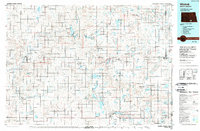
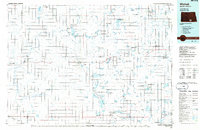
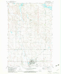
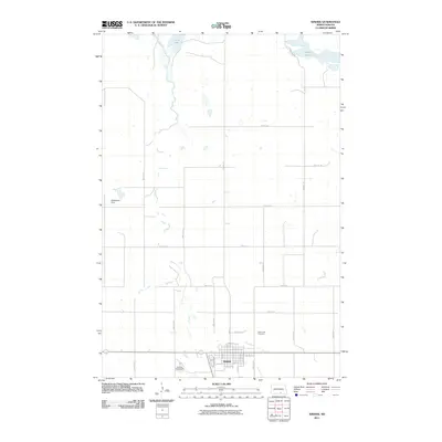
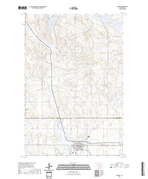
Wishek and the surrounding prairie of south-central North Dakota are defined by a complex mosaic of glacial features and conservation lands in this mid-1980s USGS compilation. The landscape is dominated by the Streator Moraine and the Schell Buttes, which rise above a network of numerous kettle lakes and wetlands including Green Lake and Lake Hoskins. The settlement pattern follows the Soo Line railroad, connecting agricultural hubs like Ashley, Fredonia, and Danzig.
Find a feature on this map
47 named features on this map. Tap any name to fly to it.
Don’t see what you’re looking for? This feature index may not catch every label — zoom into the map to look around manually.
Map Details
Date Portrayed1986
Date Published1989
PublisherU.S. Geological Survey
Map TypeTopographic
Scale1:100,000
Physical Dimensions36.7 x 24.1 inches
Editions of this 1986 Wishek Map
2 editions found
Historical Maps of Wishek Through Time
7 maps found
Featured Locations
Source Details
SourceU.S. Geological Survey
CopyrightPublic Domain