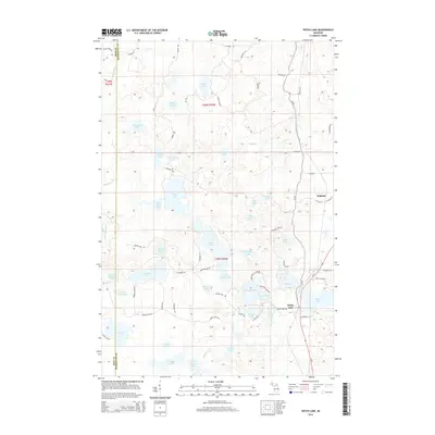
2014 Map of Witch Lake
USGS Topo · Published 2014About this map
Witch Lake and the small settlement of Witbeck anchor this survey of the northern Michigan woods where the Iron Co Marquette Co line divides the landscape. The region is defined by a dense network of glacial water bodies, ranging from the expansive Fence Lake and Penglase Lake to the smaller, secluded Camp Fifteen Lake and Boys Lake. The Mitchigan River winds through the western reaches, while the eastern section is accessible via M-95, which connects the area's few established outposts.
Find a feature on this map
77 named features on this map. Tap any name to fly to it.
Don’t see what you’re looking for? This feature index may not catch every label — zoom into the map to look around manually.
Map Details
Editions of this 2014 Witch Lake Map
This is the sole edition of this map. No revisions or reprints were ever made.
Other maps of this area

1899 · Sagola
USGS Topo · 1:62,500

1899 · Witbeck
USGS Topo · 1:62,500

1947 · Kiernan
USGS Topo · 1:24,000

1955 · Witch Lake
USGS Topo · 1:24,000

1955 · Ralph NW
USGS Topo · 1:24,000

1955 · Witch Lake NE
USGS Topo · 1:24,000

1955 · Republic
USGS Topo · 1:62,500

1955 · Republic
USGS Topo · 1:24,000

1955 · Witch Lake
USGS Topo · 1:62,500

1955 · Republic SW
USGS Topo · 1:24,000