
1955 Map of Witch Lake
USGS Topo · Published 1956About this map
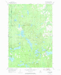
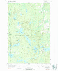
The Michigamme State Forest dominates this mid-century landscape on the border of Iron and Marquette counties. The area is defined by a dense concentration of glacial lakes and wetlands, where small settlements like Witch Lake and Witbeck serve as quiet outposts along the rail lines. Industrial and transport infrastructure is represented by the Milwaukee St Paul and Pacific and the Chicago and North Western railroads, which cut through the eastern portion of the quadrangle. These rails supported the regional economy of the Iron Range, connecting remote timber and mining operations to broader markets. Collectors will find a wilderness transition zone where family-named water bodies such as Simons Lake and Wahlstrom Lake sit alongside logging-era landmarks like Camp Fifteen Lake.
Find a feature on this map
41 named features on this map. Tap any name to fly to it.
Don’t see what you’re looking for? This feature index may not catch every label — zoom into the map to look around manually.
Map Details
Editions of this 1955 Witch Lake Map
3 editions found
Other maps of this area

1899 · Sagola
USGS Topo · 1:62,500

1899 · Witbeck
USGS Topo · 1:62,500

1947 · Kiernan
USGS Topo · 1:24,000

1955 · Ralph NW
USGS Topo · 1:24,000

1955 · Witch Lake NE
USGS Topo · 1:24,000

1955 · Republic
USGS Topo · 1:62,500

1955 · Republic
USGS Topo · 1:24,000

1955 · Witch Lake
USGS Topo · 1:62,500

1955 · Republic SW
USGS Topo · 1:24,000

1955 · Ralph
USGS Topo · 1:62,500