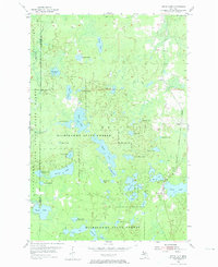
1955 Map of Witch Lake
USGS Topo · Published 1974About this map
Michigamme State Forest and the Iron Range State Forest dominate this landscape on the border of Iron and Marquette counties. The area is defined by a high density of water bodies, ranging from the large Chief Lake and Sundog Lake to smaller basins like Lake Elizabeth and Penglase Lake. This mid-century survey captures a period when the timberlands were interlaced by the competing tracks of the Chicago and North Western and the Chicago Milwaukee St Paul and Pacific railroads. The settlement at Witch Lake and the nearby station at Witbeek serve as the primary human outposts in a territory otherwise dedicated to the state forests and the myriad lakes, including Fence Lake and the oddly named Bed Spring Lake.
Find a feature on this map
44 named features on this map. Tap any name to fly to it.
Don’t see what you’re looking for? This feature index may not catch every label — zoom into the map to look around manually.
Map Details
Editions of this 1955 Witch Lake Map
3 editions found
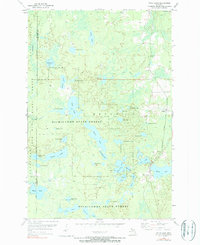
Other maps of this area

1899 · Sagola
USGS Topo · 1:62,500

1899 · Witbeck
USGS Topo · 1:62,500

1947 · Kiernan
USGS Topo · 1:24,000

1955 · Witch Lake
USGS Topo · 1:24,000

1955 · Ralph NW
USGS Topo · 1:24,000

1955 · Witch Lake NE
USGS Topo · 1:24,000

1955 · Republic
USGS Topo · 1:62,500

1955 · Republic
USGS Topo · 1:24,000

1955 · Witch Lake
USGS Topo · 1:62,500

1955 · Republic SW
USGS Topo · 1:24,000