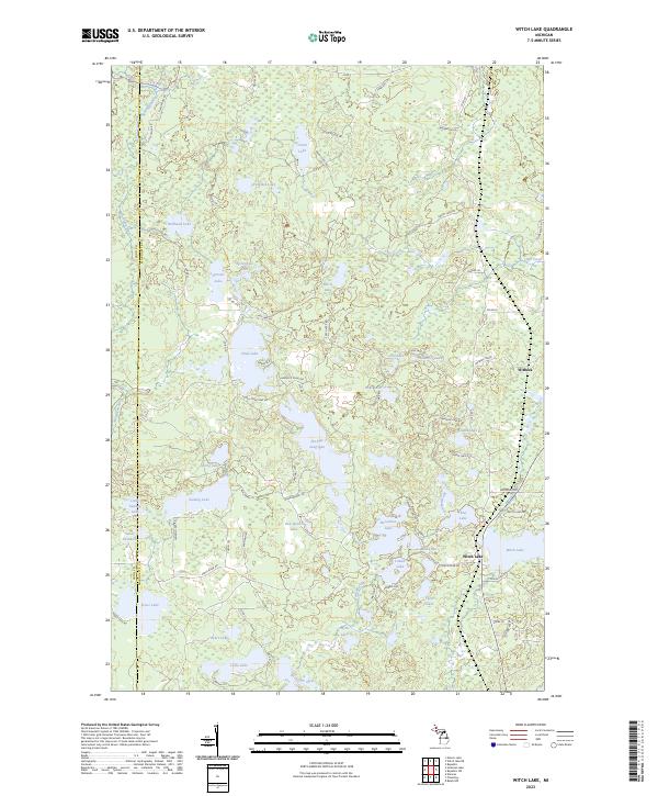
2023 Map of Witch Lake
USGS Topo · Published 2023About this map
Witch Lake and the settlement of Witbeck anchor this part of the Upper Peninsula, where the boundary between Iron and Marquette counties divides a landscape defined by an intricate network of water. The upper reaches of the Michigan River wind through the northwestern corner, while the interior is filled with numerous water bodies including Chief Lake, Fence Lake, and Simons Lake. Many features carry Indigenous names, such as Ski-kwe zaag'igan and Nookomis nbi, reflecting the cultural heritage of the region alongside names like Lake Elizabeth and Grant Lake. The road network is largely composed of local connectors and forest routes, including Horseshoe Lake Rd and Meadowlark Ln, which provide access to these remote areas. This map shows a contemporary view of the region's hydrography and forest roads, highlighting the transition from the mid-20th century resource extraction period to modern recreational and conservation uses.
Find a feature on this map
79 named features on this map. Tap any name to fly to it.
Don’t see what you’re looking for? This feature index may not catch every label — zoom into the map to look around manually.
Map Details
Editions of this 2023 Witch Lake Map
This is the sole edition of this map. No revisions or reprints were ever made.
Other maps of this area

1899 · Sagola
USGS Topo · 1:62,500

1899 · Witbeck
USGS Topo · 1:62,500

1947 · Kiernan
USGS Topo · 1:24,000

1955 · Witch Lake
USGS Topo · 1:24,000

1955 · Ralph NW
USGS Topo · 1:24,000

1955 · Witch Lake NE
USGS Topo · 1:24,000

1955 · Republic
USGS Topo · 1:62,500

1955 · Republic
USGS Topo · 1:24,000

1955 · Witch Lake
USGS Topo · 1:62,500

1955 · Republic SW
USGS Topo · 1:24,000