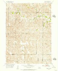
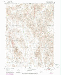
1954 Map of Wolbach NE
USGS Topo · Published 1956About this map
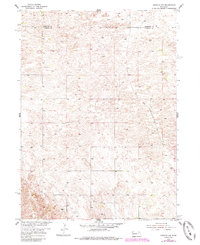
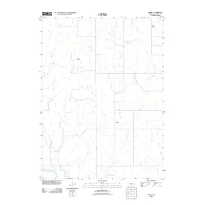
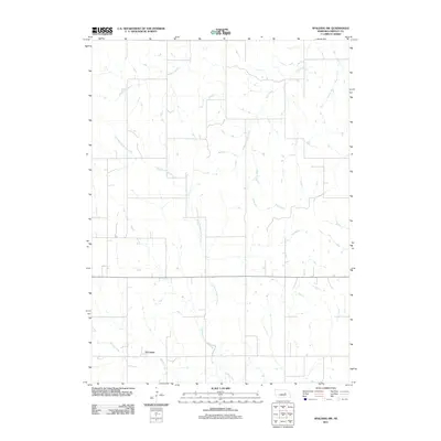
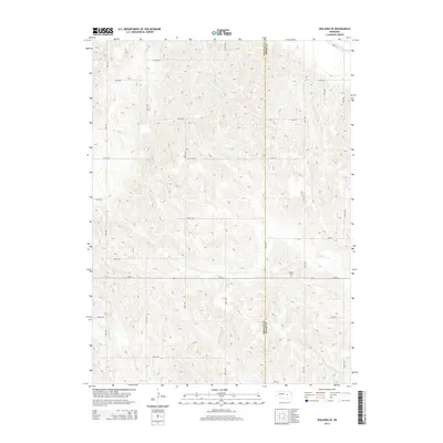
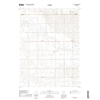
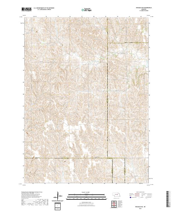
The Old Indian Reservation Boundary cuts a prominent line across this rural landscape, marking a significant historical border that persists in the 1950s geography of central Nebraska. The terrain is divided into several townships including Logan, Cedar, Spring Creek, and Cottonwood. Settlement patterns are defined by a network of small, local schoolhouses that served the surrounding agricultural community, such as Cloverdale Sch, Star Sch, Fairview Sch, and Olive Sch. The hydrology of the region is dominated by the winding path of South Branch Timber Creek, which provides a focal point for the rolling land. This 1954 field check by the Geological Survey documents a landscape of scattered farmsteads and rural infrastructure, including numerous Windmill sites that highlight the reliance on groundwater for the local homesteads.
Find a feature on this map
19 named features on this map. Tap any name to fly to it.
Don’t see what you’re looking for? This feature index may not catch every label — zoom into the map to look around manually.
Map Details
Editions of this 1954 Wolbach NE Map
This is the sole edition of this map. No revisions or reprints were ever made.
Historical Maps of Merrick County Through Time
45 maps found
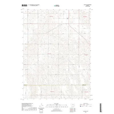
1953 Scotia NE
Greeley County, NE
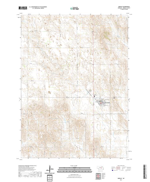
1954 Greeley
Greeley County, NE
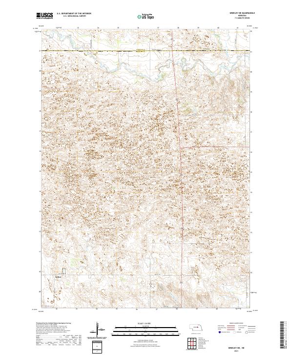
1954 Greeley NE
Greeley County, NE
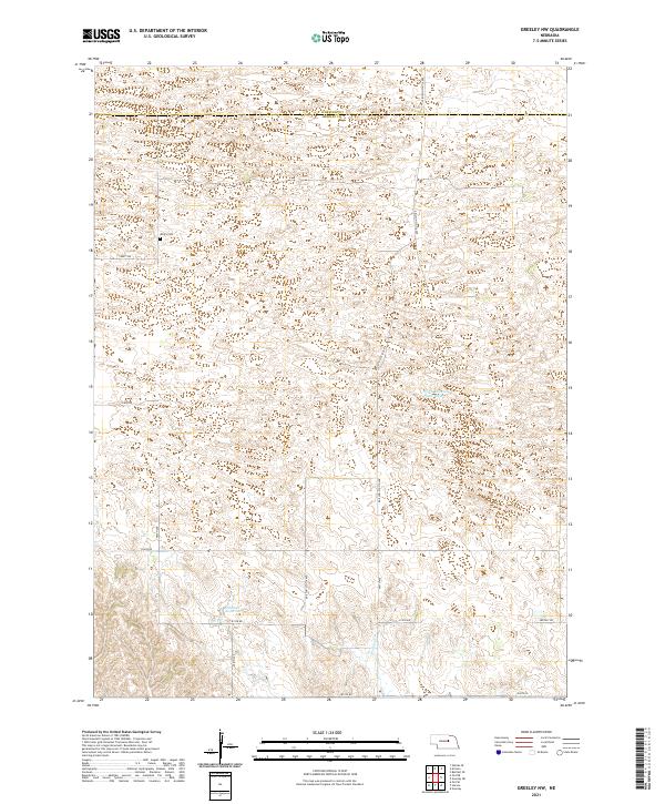
1954 Greeley NW
Greeley County, NE
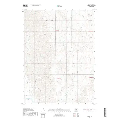
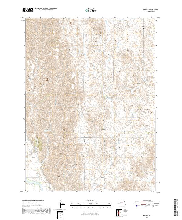
1954 Horace
Greeley County, NE
1954 Spalding NW
Greeley County, NE
1954 Spalding SE
Greeley County, NE
1954 Spalding SW
Greeley County, NE
1954 Wolbach NE
Greeley County, NE
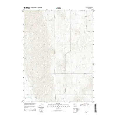
2011 Greeley
Greeley County, NE
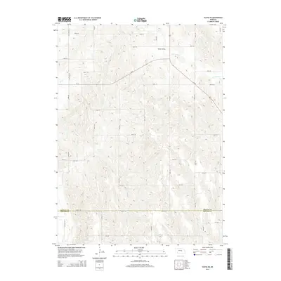
2011 Greeley NE
Greeley County, NE
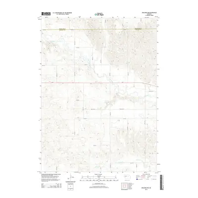
2011 Greeley NW
Greeley County, NE
2011 Horace
Greeley County, NE
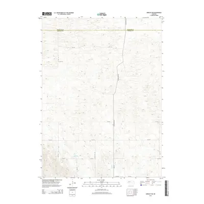
2011 Scotia NE
Greeley County, NE
2011 Spalding NW
Greeley County, NE
2011 Spalding SE
Greeley County, NE
2011 Spalding SW
Greeley County, NE
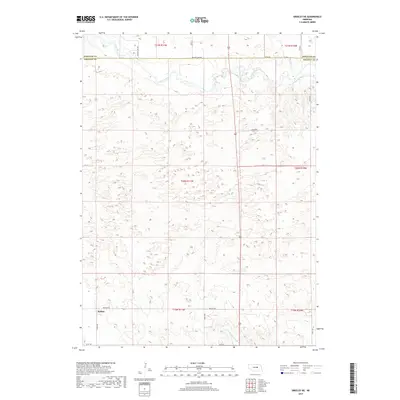
2011 Wolbach NE
Greeley County, NE
2014 Greeley
Greeley County, NE
2014 Greeley NE
Greeley County, NE
2014 Greeley NW
Greeley County, NE
2014 Horace
Greeley County, NE
2014 Scotia NE
Greeley County, NE
2014 Spalding NW
Greeley County, NE
2014 Spalding SE
Greeley County, NE
2014 Spalding SW
Greeley County, NE
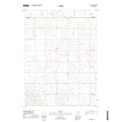
2014 Wolbach NE
Greeley County, NE
2017 Greeley
Greeley County, NE
2017 Greeley NE
Greeley County, NE
2017 Greeley NW
Greeley County, NE
2017 Horace
Greeley County, NE
2017 Scotia NE
Greeley County, NE
2017 Spalding NW
Greeley County, NE
2017 Spalding SE
Greeley County, NE
2017 Spalding SW
Greeley County, NE
2017 Wolbach NE
Greeley County, NE
2021 Greeley
Greeley County, NE
2021 Greeley NE
Greeley County, NE
2021 Greeley NW
Greeley County, NE
2021 Horace
Greeley County, NE
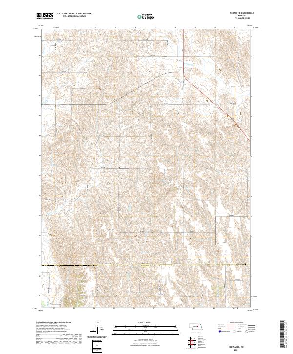
2021 Scotia NE
Greeley County, NE
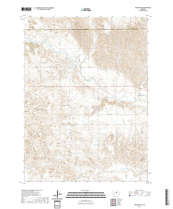
2021 Spalding NW
Greeley County, NE
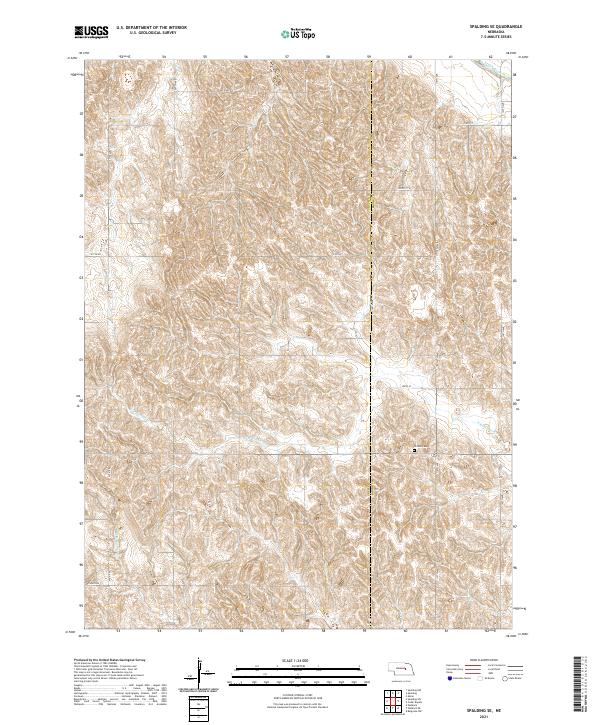
2021 Spalding SE
Greeley County, NE
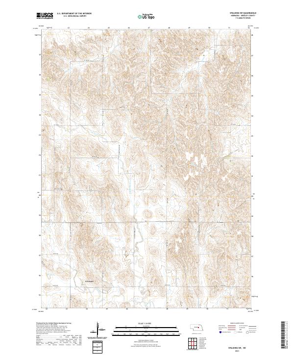
2021 Spalding SW
Greeley County, NE
2021 Wolbach NE
Greeley County, NE