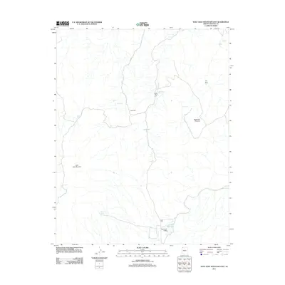
2011 Map of Wolf Hole Mountain East
USGS Topo · Published 2011About this map
Wolf Hole sits at the southern edge of this Arizona Strip landscape, where the flat expanse of Wolf Hole Valley meets the rising slopes of Wolf Hole Mountain. The settlement's life is defined by its intermittent water sources, including the nearby Wolf Hole Lake and Wolf-Hole Spring. To the north, the terrain transitions into a series of named landmarks such as Quail Hill and Seegmiller Mountain, illustrating how ranching and wildlife management have shaped this high-desert environment.
Find a feature on this map
18 named features on this map. Tap any name to fly to it.
Don’t see what you’re looking for? This feature index may not catch every label — zoom into the map to look around manually.
Map Details
Editions of this 2011 Wolf Hole Mountain East Map
This is the sole edition of this map. No revisions or reprints were ever made.
Other maps of this area

1886 · Mt. Trumbull
USGS Topo · 1:250,000

1892 · Mt. Trumbull
USGS Topo · 1:250,000

1953 · Grand Canyon
USGS Topo · 1:250,000

1954 · Hurricane Cliffs 2 NW
USGS Topo · 1:24,000

1954 · Wolf Hole Mtn. NW
USGS Topo · 1:24,000

1954 · Wolf Hole Mtn. NE
USGS Topo · 1:24,000

1957 · Grand Canyon
USGS Topo · 1:250,000

1958 · Grand Canyon
USGS Topo · 1:250,000

1960 · Grand Canyon
USGS Topo · 1:250,000
1979 · Sullivan Draw North
USGS Topo · 1:24,000