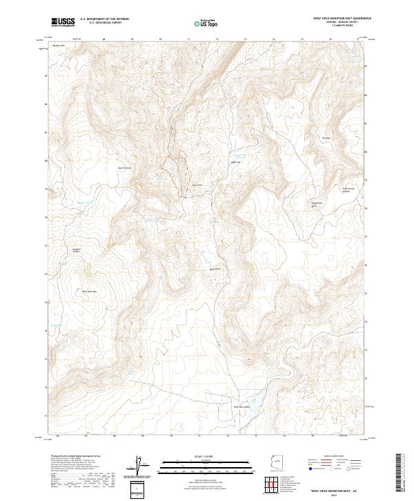
2021 Map of Wolf Hole Mountain East
USGS Topo · Published 2021About this map
Wolf Hole Mtn and Mokaac Mtn dominate this portion of the Arizona Strip, a landscape defined by its isolated water sources and complex drainage patterns. The presence of Wolf Hole Spring, Oak Spring, and Quail Spring illustrates the vital role these specific points played in an arid environment, likely serving as essential stops for livestock or travelers moving through the Wolf Hole Valley.
Find a feature on this map
27 named features on this map. Tap any name to fly to it.
Don’t see what you’re looking for? This feature index may not catch every label — zoom into the map to look around manually.
Map Details
Editions of this 2021 Wolf Hole Mountain East Map
This is the sole edition of this map. No revisions or reprints were ever made.
Other maps of this area

1886 · Mt. Trumbull
USGS Topo · 1:250,000

1892 · Mt. Trumbull
USGS Topo · 1:250,000

1953 · Grand Canyon
USGS Topo · 1:250,000

1954 · Hurricane Cliffs 2 NW
USGS Topo · 1:24,000

1954 · Wolf Hole Mtn. NW
USGS Topo · 1:24,000

1954 · Wolf Hole Mtn. NE
USGS Topo · 1:24,000

1957 · Grand Canyon
USGS Topo · 1:250,000

1958 · Grand Canyon
USGS Topo · 1:250,000

1960 · Grand Canyon
USGS Topo · 1:250,000
1979 · Sullivan Draw North
USGS Topo · 1:24,000