1997 Map of Wonno
USGS Topo · Published 2004About this map
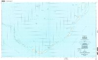
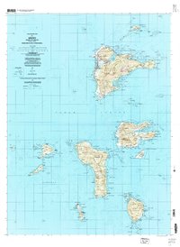
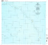
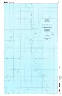
Chuuk Lagoon defines the western half of this Pacific survey, where the vast coral reef structures of Ochoeor and Pukuon separate the inner waters from the open Pacific Ocean. The mapping focuses on the dispersed islets and reef features of the Nomoneas group, documenting the small settlement at Wonno and the presence of unidentified Ruins near Anangerimon. This cartography provides a clear view of the maritime environment as it was recorded in the late 1960s and updated through the 1990s, capturing the specific geography of landforms like Pisimunokun, Engenimimo, and Soniekkei. The distribution of these tiny landmasses along the reef edge reflects the traditional reliance on the sea for transport and resources within the Federated States of Micronesia.
Find a feature on this map
37 named features on this map. Tap any name to fly to it.
Don’t see what you’re looking for? This feature index may not catch every label — zoom into the map to look around manually.
Map Details
Editions of this 1997 Wonno Map
This is the sole edition of this map. No revisions or reprints were ever made.