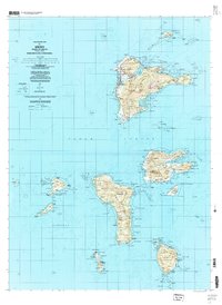
1997 Map of Weno
USGS Topo · Published 2004This historical map portrays the area of Weno in 1997, primarily covering Federated States of Micronesia. Featuring a scale of 1:25000, this map provides a highly detailed snapshot of the terrain, roads, buildings, counties, and historical landmarks in the Weno region at the time. Published in 2004, it is the sole known edition of this map.
Map Details
Editions of this 1997 Weno Map
This is the sole edition of this map. No revisions or reprints were ever made.
Historical Maps of Federated States of Micronesia Through Time
19 maps found
1983 Island Of Ponape (North Half)
Federated States of Micronesia
1983 Island Of Ponape (South Half)
Federated States of Micronesia
1983 Unikappi
Federated States of Micronesia
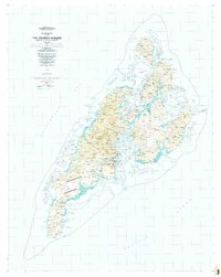
1983 Yap Islands (Waqab)
Federated States of Micronesia
1996 Meseong
Federated States of Micronesia
1996 Neoch
Federated States of Micronesia
1996 Tol South
Federated States of Micronesia
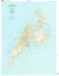
1996 Yap Islands (Waqab)
Federated States of Micronesia
1997 Piis Moen
Federated States of Micronesia
1997 Ruo
Federated States of Micronesia
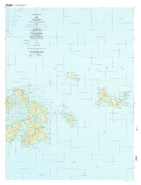
1997 Tol
Federated States of Micronesia
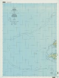
1997 Unikappi
Federated States of Micronesia

1997 Weno
Federated States of Micronesia
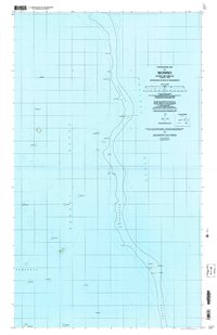
1997 Wonno
Federated States of Micronesia
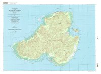
2001 Island of Kosrae
Federated States of Micronesia
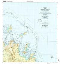
2001 Island Of Pohnpei (Northeast)
Federated States of Micronesia
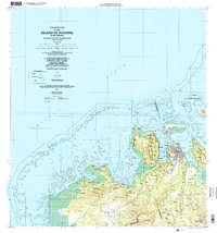
2001 Island Of Pohnpei (Northwest)
Federated States of Micronesia
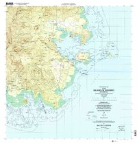
2001 Island Of Pohnpei (Southeast)
Federated States of Micronesia
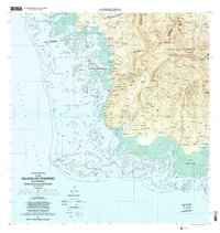
2001 Island Of Pohnpei (Southwest)
Federated States of Micronesia