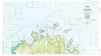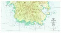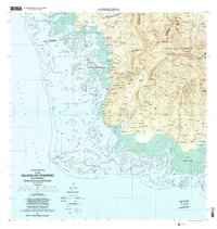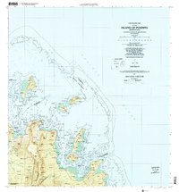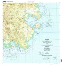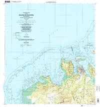
2001 Map of Island Of Pohnpei (Northwest)
USGS Topo · Published 2002About this map
The urban hub of Kolonia and the national capital area at Palikir anchor this detailed study of northwest Pohnpei at the start of the 21st century. The map illustrates a complex coastal environment where the steep volcanic terrain of the Sokehs peninsula drops toward Sokehs Harbor, protected by an extensive Coral Reef system and the Sapwtik Marine Sanctuary. While the population centers show significant development, including the Pohnpei International Airport on Dekehtik island, the interior remains dominated by the Pohnpei Watershed Forest Reserve. Smaller traditional settlements like Sapwawas, Sekere, and Nan Mall are dispersed along the lower elevations, connected by a network of roads and trails such as Nih Pauma. The map also records essential infrastructure of the era, from Communication Towers and a Police Station to a Quarry and various pumping stations, reflecting the administrative and economic functions of the island.
Find a feature on this map
136 named features on this map. Tap any name to fly to it.
Don’t see what you’re looking for? This feature index may not catch every label — zoom into the map to look around manually.
Map Details
Editions of this 2001 Island Of Pohnpei (Northwest) Map
This is the sole edition of this map. No revisions or reprints were ever made.