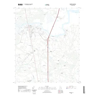
2020 Map of Woodbine
USGS Topo · Published 2020About this map
The Satilla River defines the landscape of this coastal Georgia region, winding past the seat of local government at the Camden County Courthouse in Woodbine. This survey documents a complex network of wetlands and tidal islands, including Piney Island and Grassy Island, where the river splits into reaches like the Crow Harbor Reach. The settlement pattern follows the high ground of the Satilla Bluff and extends south through small communities such as Halifax, Billyville, and Colesburg. Genealogical researchers can locate several distinct burial sites across the quadrangle, from the Woodbine Cem near the town center to more isolated locations like Ceylon Cem and Whitaker Cem. The southern edge of the map shows the northward expansion of Kingsland near Floyd Hammock, illustrating the transition from the river-focused commerce of Ceylon to modern interior corridors.
Find a feature on this map
96 named features on this map. Tap any name to fly to it.
Don’t see what you’re looking for? This feature index may not catch every label — zoom into the map to look around manually.
Map Details
Editions of this 2020 Woodbine Map
This is the sole edition of this map. No revisions or reprints were ever made.
Other maps of this area

1917 · Nahunta
USGS Topo · 1:62,500

1917 · Boulogne
USGS Topo · 1:62,500

1918 · Nahunta
USGS Topo · 1:62,500

1918 · Bladen
USGS Topo · 1:62,500

1918 · Kingsland
USGS Topo · 1:62,500

1919 · Boulogne
USGS Topo · 1:62,500

1939 · Bladen
USGS Topo · 1:62,500

1946 · Brunswick
USGS Topo · 1:250,000

1948 · Jacksonville
USGS Topo · 1:250,000

1948 · Brunswick
USGS Topo · 1:250,000