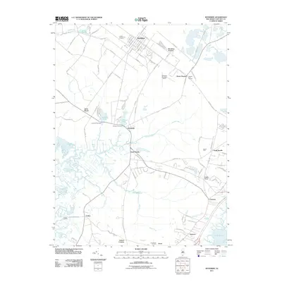
2011 Map of Woodbine
USGS Topo · Published 2011About this map
Woodbine serves as a central hub in this Cape May County landscape, characterized by a grid of streets such as Heilprin Ave and Dehirsch Ave. The area’s aviation history is represented by the Woodbine Municipal Airport, while the surrounding marshlands and waterways define the regional geography. Water control and local industry are evidenced by infrastructure like the Ludlams Pond Dam and Johnson Pond Dam, which manage flow into the extensive Dennis Creek system.
Find a feature on this map
101 named features on this map. Tap any name to fly to it.
Don’t see what you’re looking for? This feature index may not catch every label — zoom into the map to look around manually.
Map Details
Editions of this 2011 Woodbine Map
This is the sole edition of this map. No revisions or reprints were ever made.
Other maps of this area

1884 · Sea Isle
USGS Topo · 1:62,500

1888 · Dennisville
USGS Topo · 1:62,500

1888 · Sea Isle
USGS Topo · 1:62,500

1890 · Great Egg Harbor
USGS Topo · 1:62,500

1890 · Tuckahoe
USGS Topo · 1:62,500

1893 · Great Egg Harbor
USGS Topo · 1:62,500

1893 · Tuckahoe
USGS Topo · 1:62,500

1894 · Dennisville
USGS Topo · 1:62,500

1894 · Sea Isle
USGS Topo · 1:62,500

1918 · Great Egg Harbor
USGS Topo · 1:62,500
Featured Places
- Middle Township, NJ
- Upper Township, NJ
- Woodbine, NJ
- Cedar Grove, Dennis Township
- South Seaville, Dennis Township