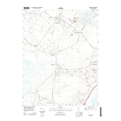
2014 Map of Woodbine
USGS Topo · Published 2014About this map
Dennisville and South Dennis anchor this coastal plain landscape where the tidal reaches of Dennis Cr and Sluice Cr meet a network of early overland routes. The interior is characterized by freshwater landmarks like Clint Millpond and Lake Nummy, alongside the drainage of Savages Run. In the north, Woodbine is established as a central hub, flanked by the Woodbine Municipal Airport and the strategic rail point of Woodbine Junction.
Find a feature on this map
130 named features on this map. Tap any name to fly to it.
Don’t see what you’re looking for? This feature index may not catch every label — zoom into the map to look around manually.
Map Details
Editions of this 2014 Woodbine Map
This is the sole edition of this map. No revisions or reprints were ever made.
Other maps of this area

1884 · Sea Isle
USGS Topo · 1:62,500

1888 · Dennisville
USGS Topo · 1:62,500

1888 · Sea Isle
USGS Topo · 1:62,500

1890 · Great Egg Harbor
USGS Topo · 1:62,500

1890 · Tuckahoe
USGS Topo · 1:62,500

1893 · Great Egg Harbor
USGS Topo · 1:62,500

1893 · Tuckahoe
USGS Topo · 1:62,500

1894 · Dennisville
USGS Topo · 1:62,500

1894 · Sea Isle
USGS Topo · 1:62,500

1918 · Great Egg Harbor
USGS Topo · 1:62,500
Featured Places
- Middle Township, NJ
- Upper Township, NJ
- Woodbine, NJ
- Cedar Grove, Dennis Township
- South Seaville, Dennis Township