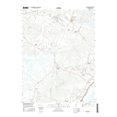
2016 Map of Woodbine
USGS Topo · Published 2016About this map
Woodbine and its surrounding Cape May County communities are defined by a complex network of wetlands and coastal lowlands. In the north, the town's grid is flanked by the United Brotherhood Cem and Tiffereth Israel Cem, reflecting its distinct community history. The landscape transitions from the developed corridors near the Woodbine Municipal Airport into the expansive Great Cedar Swamp and Timber and Beaver Swamp, highlighting the area's preserved natural character. To the south, numerous tidal creeks including Dennis Creek, Sluice Creek, and Goshen Creek snake through the marshes toward the coast. Historical connectivity is evident at Woodbine Junction and through the string of settlements like North Dennis, South Dennis, and Goshen that follow the established road and rail paths. Smaller water bodies such as Lake Nummy and Clint Millpond dot the inland areas, providing specific landmarks for local history and ecological study.
Find a feature on this map
129 named features on this map. Tap any name to fly to it.
Don’t see what you’re looking for? This feature index may not catch every label — zoom into the map to look around manually.
Map Details
Editions of this 2016 Woodbine Map
This is the sole edition of this map. No revisions or reprints were ever made.
Other maps of this area

1884 · Sea Isle
USGS Topo · 1:62,500

1888 · Dennisville
USGS Topo · 1:62,500

1888 · Sea Isle
USGS Topo · 1:62,500

1890 · Great Egg Harbor
USGS Topo · 1:62,500

1890 · Tuckahoe
USGS Topo · 1:62,500

1893 · Great Egg Harbor
USGS Topo · 1:62,500

1893 · Tuckahoe
USGS Topo · 1:62,500

1894 · Dennisville
USGS Topo · 1:62,500

1894 · Sea Isle
USGS Topo · 1:62,500

1918 · Great Egg Harbor
USGS Topo · 1:62,500
Featured Places
- Middle Township, NJ
- Upper Township, NJ
- Woodbine, NJ
- Cedar Grove, Dennis Township
- South Seaville, Dennis Township