2023 Map of Woodbine
USGS Topo · Published 2023About this map
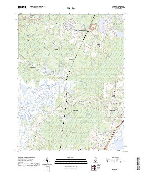
Great Cedar Swamp and Timber and Beaver Swamp define the interior of this Cape May County landscape, where freshwater drainage systems like Dennis Creek and Sluice Creek flow toward the Delaware Bay. The town of Woodbine serves as a central hub, historically connected via the Woodbine Junction and characterized by its distinct street grid near the Woodbine Municipal Airport. This area is particularly rich for genealogical research, containing numerous historic burial grounds including Tiffereth Israel Cem, United Brotherhood Cem, and the Thomas Ludlam Cem. To the south, settlements like South Dennis, South Seaville, and Goshen are interspersed with smaller water bodies such as Clint Millpond and Johnson Pond, reflecting a long-standing reliance on the local hydrology for both industry and community placement.
Find a feature on this map
141 named features on this map. Tap any name to fly to it.
Don’t see what you’re looking for? This feature index may not catch every label — zoom into the map to look around manually.
Map Details
Editions of this 2023 Woodbine Map
This is the sole edition of this map. No revisions or reprints were ever made.
Historical Maps of South Seaville Through Time
Featured Locations
- Upper Township, NJ
- Woodbine, NJ
- Middle Township, NJ
- Cedar Grove, Dennis Township
- South Seaville, Dennis Township