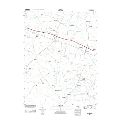
2011 Map of Woodbine
USGS Topo · Published 2011About this map
The South Branch Patapsco River defines the northern reaches of this landscape, where the Woodbine Post Office serves as a central hub for the surrounding community. This region of Maryland is characterized by a dense network of small settlements and residential enclaves such as Lisbon Acres, Florence Manor, and River Plantations. Aviation history is well-represented by several landing sites, including Barnes Airport and the Warfield Private Airstrip near the center of the sheet.
Find a feature on this map
149 named features on this map. Tap any name to fly to it.
Don’t see what you’re looking for? This feature index may not catch every label — zoom into the map to look around manually.
Map Details
Editions of this 2011 Woodbine Map
This is the sole edition of this map. No revisions or reprints were ever made.
Other maps of this area

1892 · Laurel
USGS Topo · 1:62,500

1892 · Ellicott
USGS Topo · 1:62,500

1893 · Frederick
USGS Topo · 1:125,000

1894 · Ellicott
USGS Topo · 1:62,500

1894 · Laurel
USGS Topo · 1:62,500

1894 · Frederick
USGS Topo · 1:125,000

1897 · Laurel
USGS Topo · 1:62,500

1906 · Ellicott
USGS Topo · 1:62,500

1907 · Laurel
USGS Topo · 1:62,500

1908 · Patapsco
USGS Topo · 1:125,000