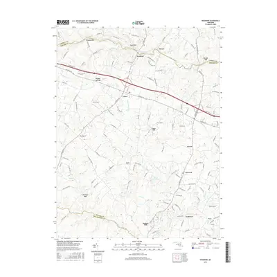
2016 Map of Woodbine
USGS Topo · Published 2016About this map
The South Branch Patapsco River and the Patuxent River carve through the landscape of Howard and Carroll Counties, framing a region defined by its long-standing milling heritage and agricultural hamlets. The settlement of Woodbine sits near the northern boundary, while the central corridor is punctuated by crossroads like Lisbon and Poplar Springs, which historically served as vital stops along the early turnpike routes. The persistence of water-powered industry is evident in the cluster of mill sites such as Carrs Mill, Roxbury Mills, and Hipsleys Mill, each marking a point where local streams like Cattail Creek were harnessed for trade.
Find a feature on this map
119 named features on this map. Tap any name to fly to it.
Don’t see what you’re looking for? This feature index may not catch every label — zoom into the map to look around manually.
Map Details
Editions of this 2016 Woodbine Map
This is the sole edition of this map. No revisions or reprints were ever made.
Other maps of this area

1892 · Laurel
USGS Topo · 1:62,500

1892 · Ellicott
USGS Topo · 1:62,500

1893 · Frederick
USGS Topo · 1:125,000

1894 · Ellicott
USGS Topo · 1:62,500

1894 · Laurel
USGS Topo · 1:62,500

1894 · Frederick
USGS Topo · 1:125,000

1897 · Laurel
USGS Topo · 1:62,500

1906 · Ellicott
USGS Topo · 1:62,500

1907 · Laurel
USGS Topo · 1:62,500

1908 · Patapsco
USGS Topo · 1:125,000