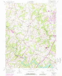
2023 Map of Woodbine
USGS Topo · Published 2023About this map
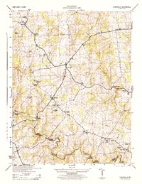
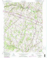
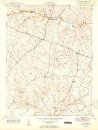
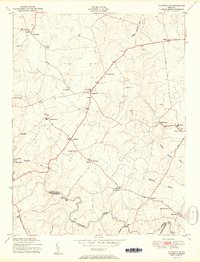
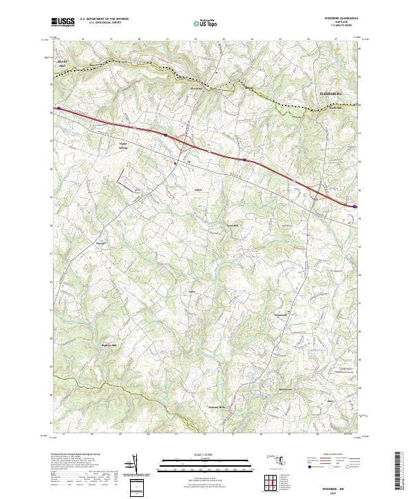
The South Branch Patapsco River defines the northern boundary of this Howard County landscape, carving a valley that historically supported vital milling operations. The presence of Hoods Mill, Roxbury Mills, Hipsleys Mill, and Carrs Mill reflects an era where local water power was the engine of rural industry. While the map shows modern developments like Barnes Airport and Glenair Airport, the underlying network of old roads—including the historic Old Frederick Rd and Woodbine Rd—points to the area's long-standing role as a corridor between established Maryland towns. Small settlements such as Poplar Springs, Lisbon, and Daisy are connected by these winding routes, which navigate the varied drainage basins of Cattail Creek and the Patuxent River. This geography illustrates the transition from traditional agriculture and milling toward the contemporary suburban and aviation infrastructure seen today.
Find a feature on this map
124 named features on this map. Tap any name to fly to it.
Don’t see what you’re looking for? This feature index may not catch every label — zoom into the map to look around manually.
Map Details
Editions of this 2023 Woodbine Map
This is the sole edition of this map. No revisions or reprints were ever made.
Historical Maps of Inwood Through Time
9 maps found