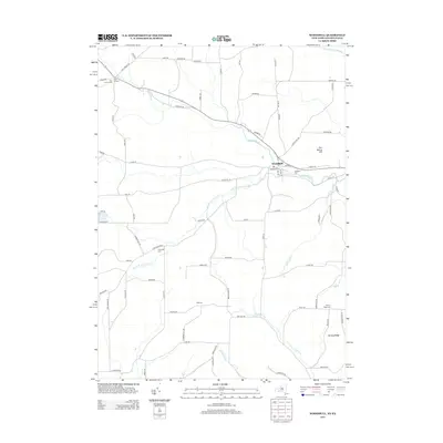
2013 Map of Woodhull
USGS Topo · Published 2013About this map
Woodhull serves as the primary hub in this portion of Steuben County, where the village is centered at the junction of Route 417 and several local thoroughfares such as Washington Street and Jasper Street. The landscape is defined by the branching waterways of Tuscarora Creek, including its North Branch and South Branch, which carve through the high ground of Earl Beatty Hill and Norway Ridge.
Find a feature on this map
82 named features on this map. Tap any name to fly to it.
Don’t see what you’re looking for? This feature index may not catch every label — zoom into the map to look around manually.
Map Details
Editions of this 2013 Woodhull Map
This is the sole edition of this map. No revisions or reprints were ever made.
Other maps of this area

1899 · Gaines
USGS Topo · 1:62,500

1900 · Gaines
USGS Topo · 1:62,500

1900 · Elkland
USGS Topo · 1:62,500

1924 · Woodhull
USGS Topo · 1:48,000

1926 · Woodhull
USGS Topo · 1:62,500

1926 · Greenwood
USGS Topo · 1:62,500

1944 · Woodhull
USGS Topo · 1:62,500

1950 · Elmira
USGS Topo · 1:250,000

1953 · Cameron
USGS Topo · 1:24,000

1953 · Woodhull
USGS Topo · 1:24,000