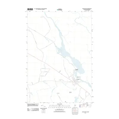
2011 Map of Woodland
USGS Topo · Published 2011About this map
The Saint Croix River forms a natural border and industrial corridor in this Washington County landscape, dominated by the settlement of Woodland. The local geography is defined by the river's flow and the Woodland Dam, which anchors the community's connection to the water. Branching away from the river, several drainage systems like Sprague Meadow Brook, Anderson Brook, and Wapsaconhagan Brook carve through the terrain between prominent local elevations.
Find a feature on this map
30 named features on this map. Tap any name to fly to it.
Don’t see what you’re looking for? This feature index may not catch every label — zoom into the map to look around manually.
Map Details
Editions of this 2011 Woodland Map
This is the sole edition of this map. No revisions or reprints were ever made.
Other maps of this area

1929 · Calais
USGS Topo · 1:48,000

1932 · Calais
USGS Topo · 1:62,500

1940 · Waite
USGS Topo · 1:62,500

1940 · Kellyland
USGS Topo · 1:62,500

1941 · Big Lake
USGS Topo · 1:62,500

1942 · Kellyland
USGS Topo · 1:62,500

1942 · Waite
USGS Topo · 1:62,500

1943 · Big Lake
USGS Topo · 1:62,500

1949 · Calais
USGS Topo · 1:24,000

1952 · Big Lake
USGS Topo · 1:50,000